The Uncle Sam Mine
(Placer/Lode)
(40 acres)
Jefferson County, Montana
$38,000
Under Contract
(Placer/Lode)
(40 acres)
Jefferson County, Montana
$38,000
Under Contract
Primary Commodities: Gold and Silver
• Claim designation: un-patented Placer and Lode
• Size: 40 acres
• Location: Jefferson County, Montana
• Claim designation: un-patented Placer and Lode
• Size: 40 acres
• Location: Jefferson County, Montana
The Uncle Sam mine is a documented mineral property located in the Cataract mining district of Jefferson County, Montana. As one of the first producers in the district, the mine shares the name of Uncle Sam Creek and Uncle Sam Road.
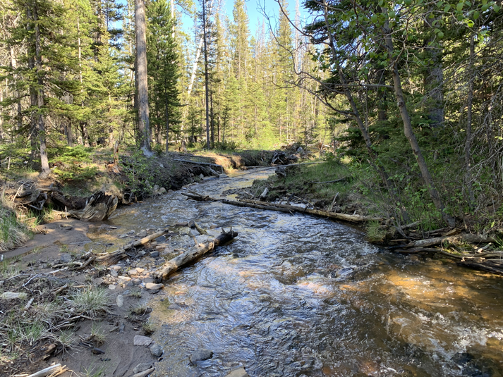
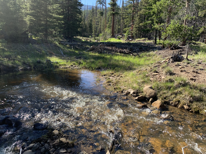
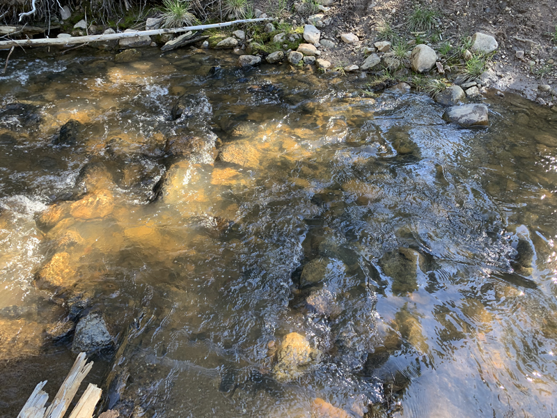
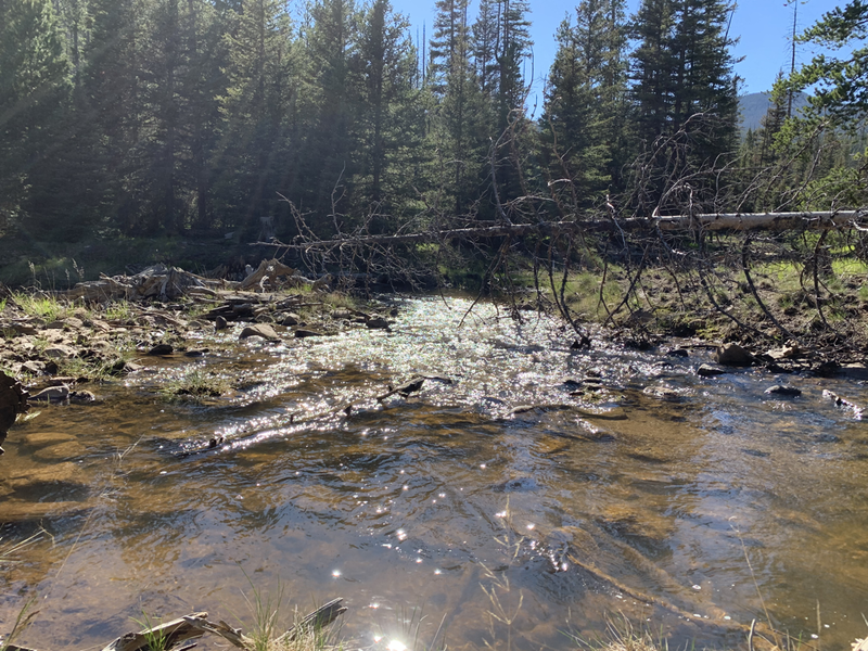
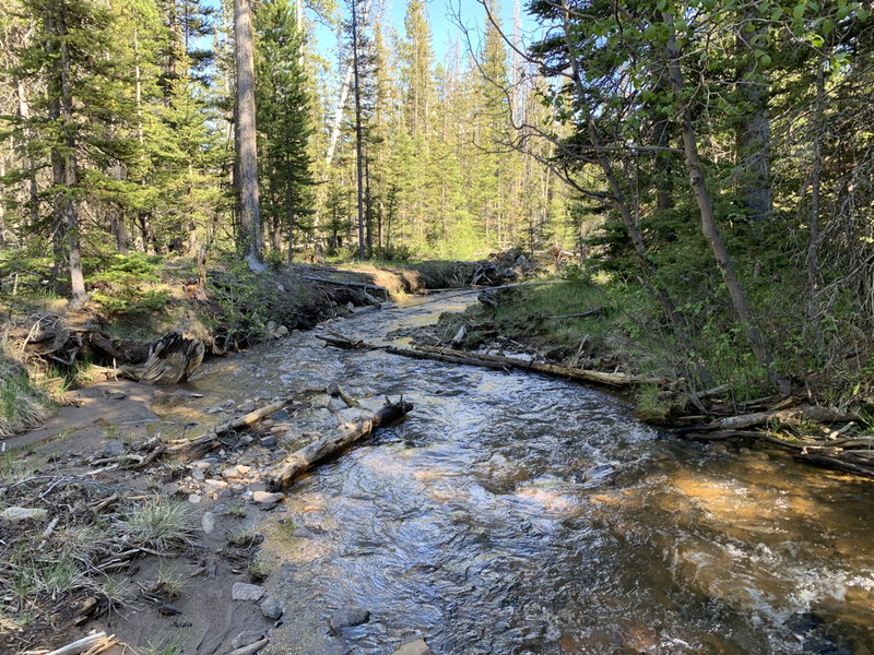
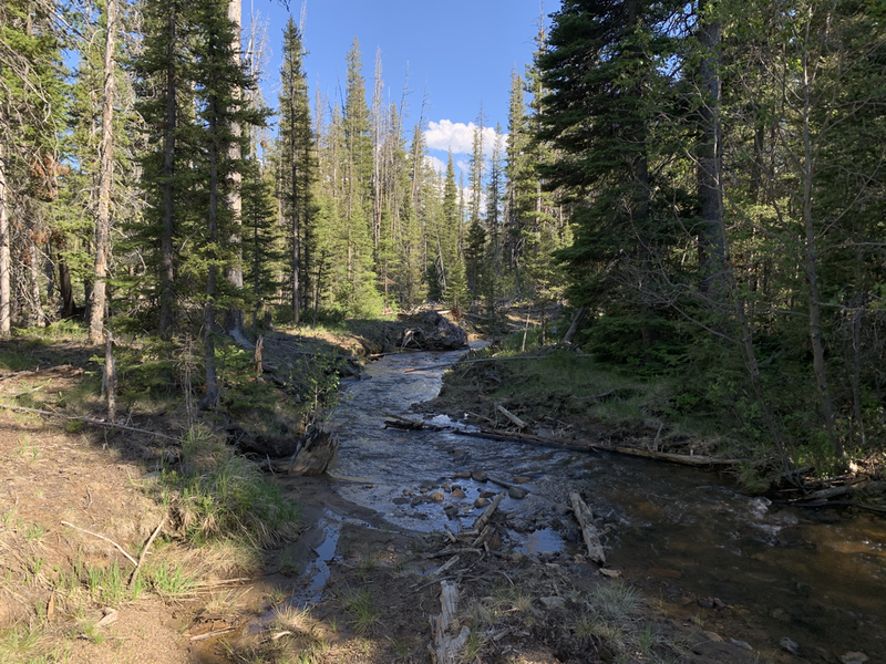
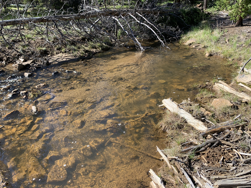
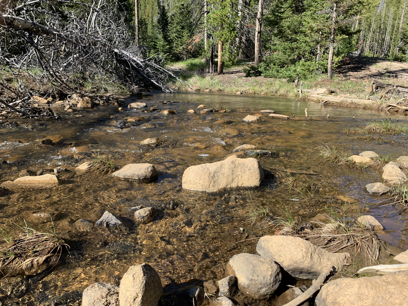
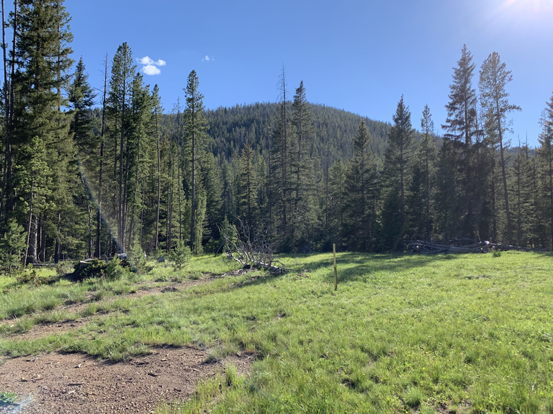
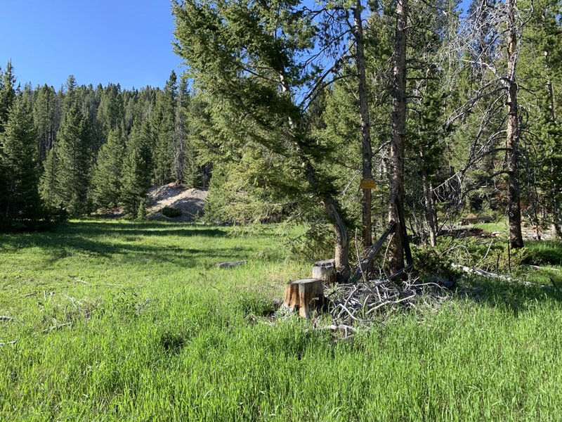
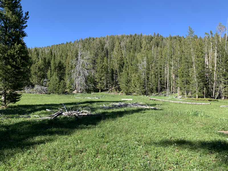
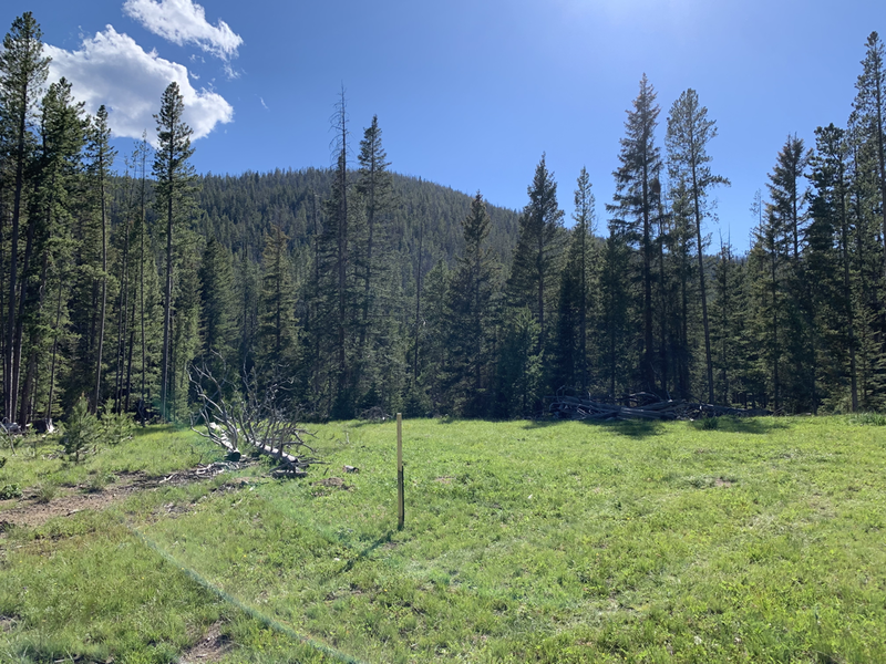
Featuring over 1200 feet of annually flowing creek, substantial Gold reserves, underground workings from 1900's, and an extremely secluded location.
With few records available, the original location was most likely discovered in the late 1890s through 1910.
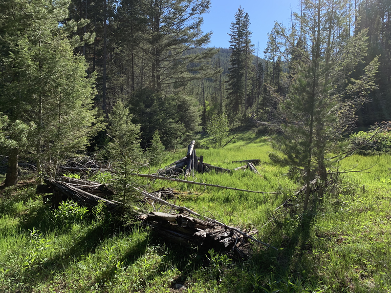
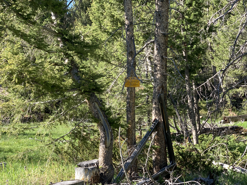
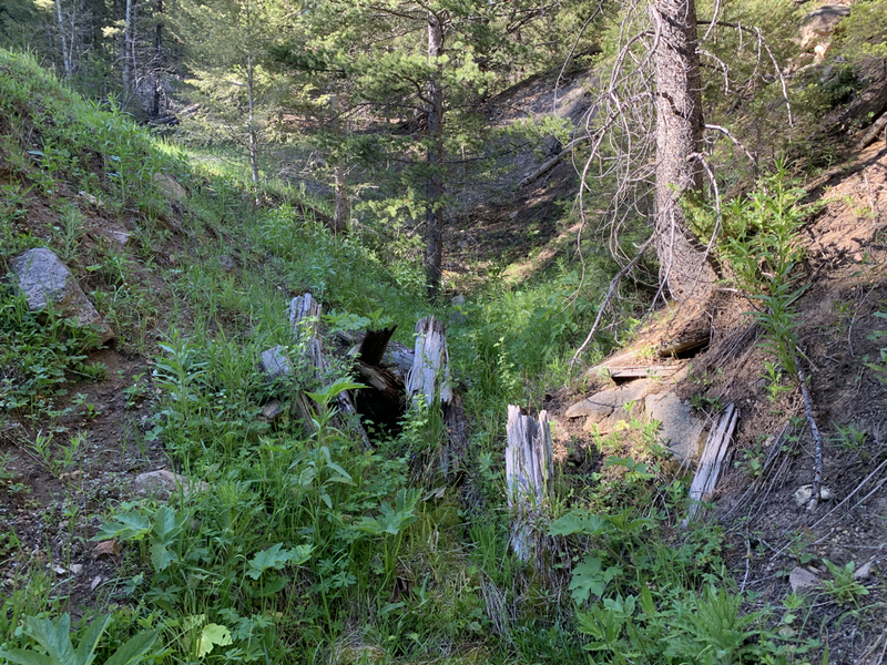
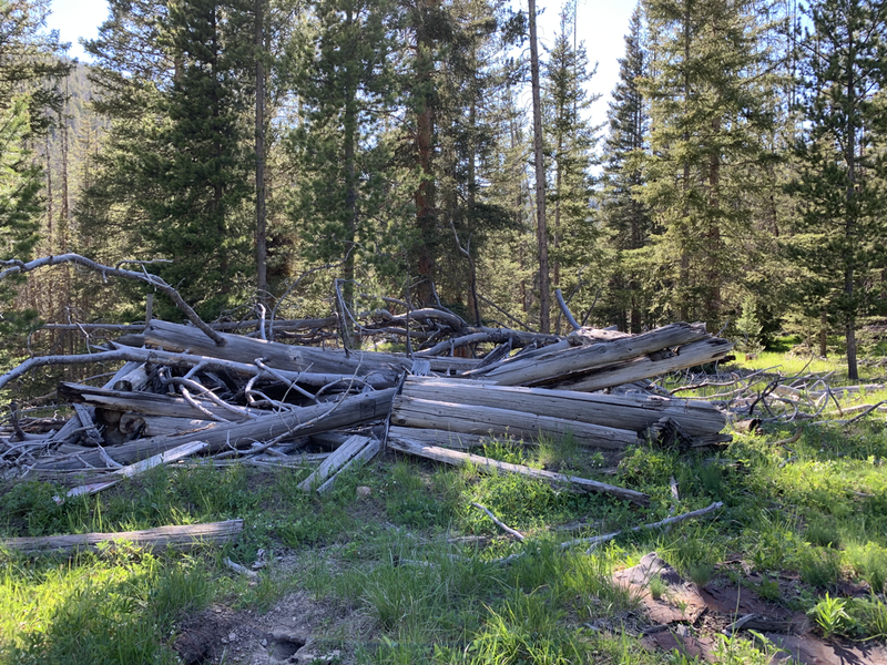
Cabin timber remnants, as well as aged mine support timbers, support activity throughout the early 1900s.
Production ceased in 1941 with the War Act, leaving the site abandoned for over forty years. In 1984 a few mining companies acquired the mine with a brief interest in rare earth elements. During the 1980s, the high-grade Gold ore remained untouched, with Gold prices of only $308.00 per ounce at the time of REE exploration.
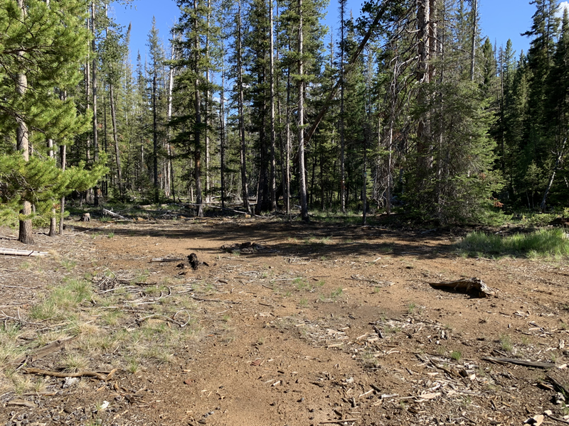
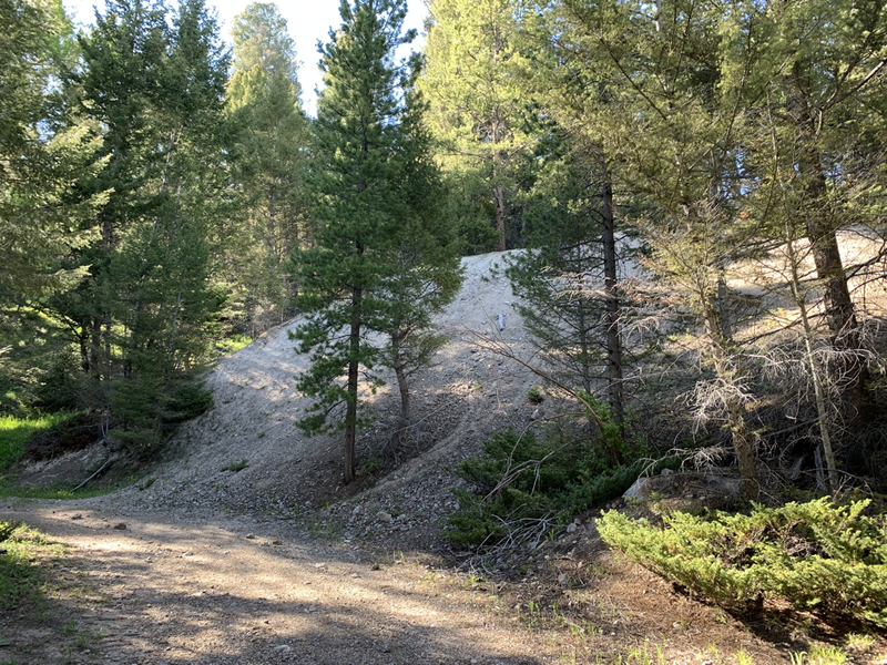
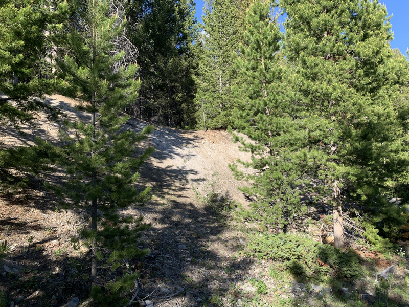
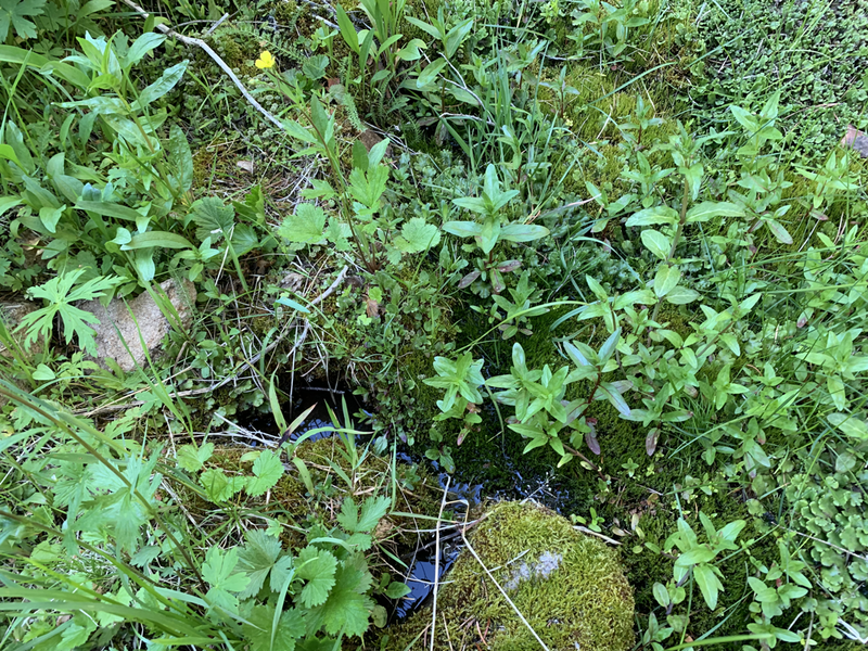
- Primary lode workings consist of three caved crosscut adits from the original 1900s development. The lower and larger of the adits is emanating water from an interior spring. Any underground exploration will require overburden in the estimated amount of 10-20 yards removed from the portal faces.
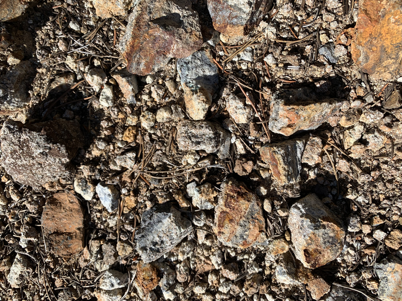
Estimated Hardrock deposit values are 0.85-to-2.9 opt Au(Gold), 3.7-to-14.00 opt Ag (Silver), and trace base metals.
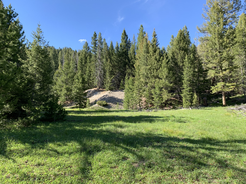
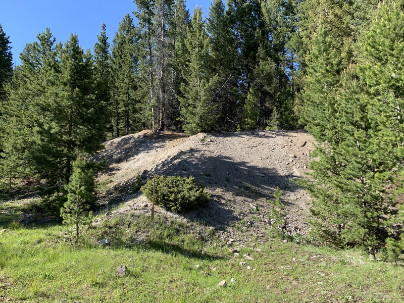
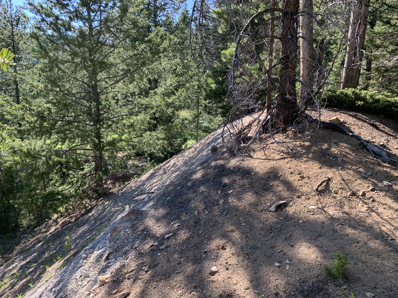
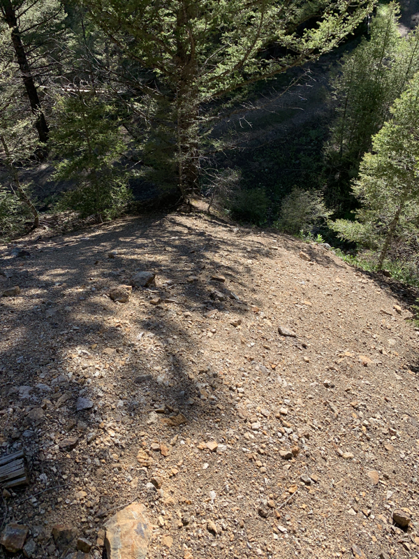
A substantial mine dump in excess of 3 acres of area is located on the lower adit portal alone, with the upper two adits emanating over 50,000 tons of spill. An estimated combined amount of 150,000 tons of mineralized spill is located on the property.
Mine spill is comprised of the local granite host rock and low-to-mid-grade ore.
With no mill onsite, only the highest-grade material was shipped to local refineries of the age.
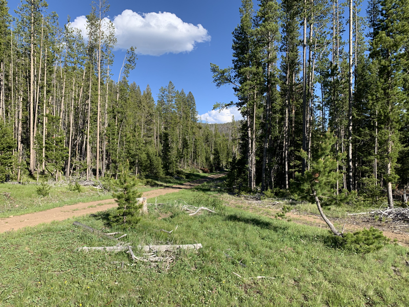
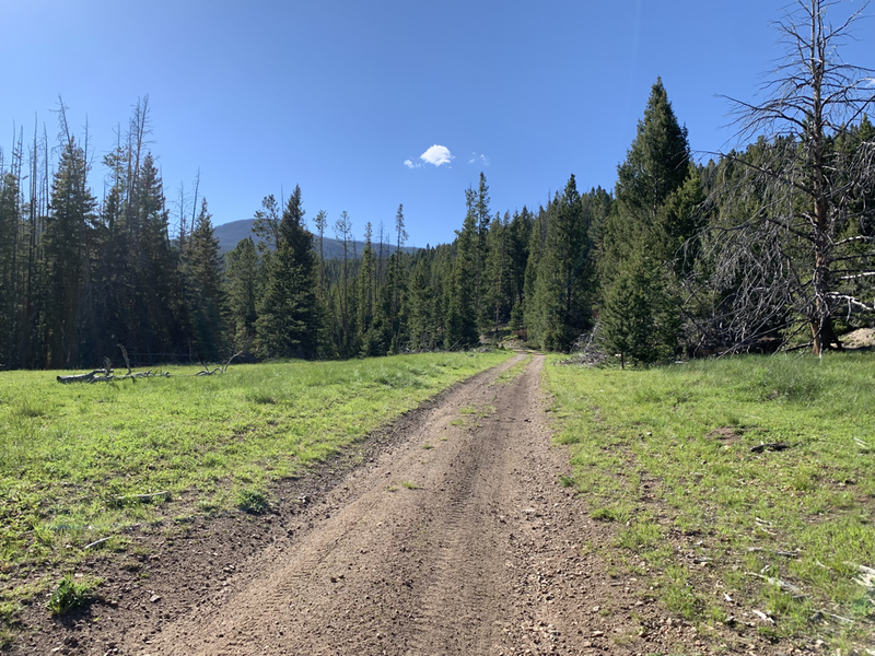
Located on a maintained dirt road, accessible by any 4x4 vehicle during the warmer months.
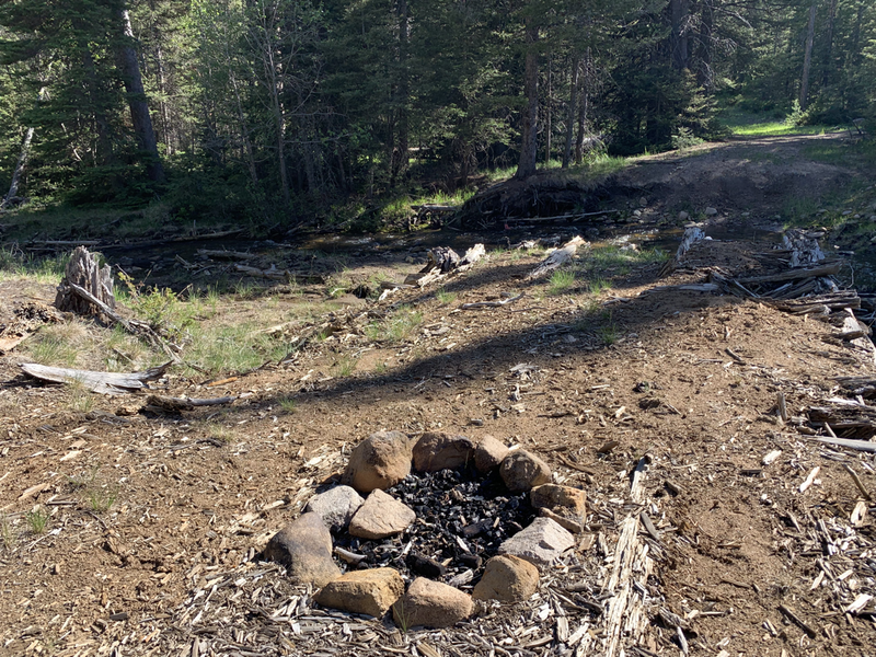
- Primary placer workings consist of multiple, shallow prospects and cuts along Uncle Sam Creek.
Uncle same creek runs yearlong, with a width ranging from 12'-to 18' feet, and a depth ranging between 9" inches to 2.5' feet. A moderate flow is perfect for any high banking or dredging operation.
Estimated placer deposits range from 0.08-to-1.89 grams Au (Gold) per yard.
Access to the mine is via a maintained dirt road, suitable for any 4x4 vehicle during the warmer months.
The small town of Basin, MT is located within a 30-minute drive of the mine, and the larger town of Boulder, MT within 48 minutes and features all amenities.
The historic Uncle Sam mine is available to the individual enthusiast and ready for an established mining company.
