The Rochester
(Lode/Placer)
(40 acres)
Madison County, Montana
$33,750
SOLD
(Lode/Placer)
(40 acres)
Madison County, Montana
$33,750
SOLD
•Commodities: Gold, Silver ,Copper
• Claim designation: un-patented Lode /Placer
• Size: 40 acres
• Location: Madison County, Montana
•Financing available with a flexible down-payment of $1500 and monthly payments of $189.00
•Direct purchase discounts available
• Claim designation: un-patented Lode /Placer
• Size: 40 acres
• Location: Madison County, Montana
•Financing available with a flexible down-payment of $1500 and monthly payments of $189.00
•Direct purchase discounts available
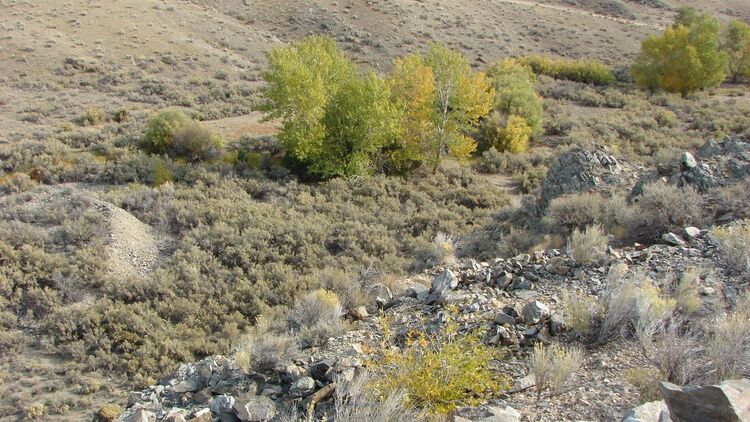
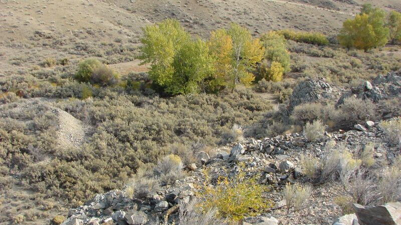
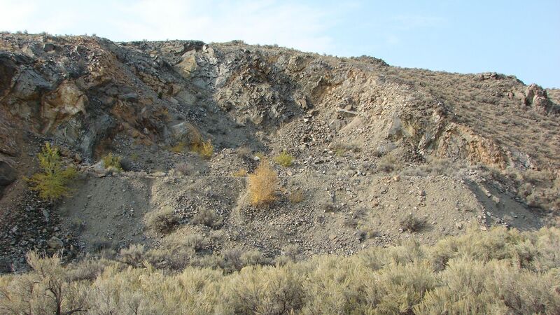
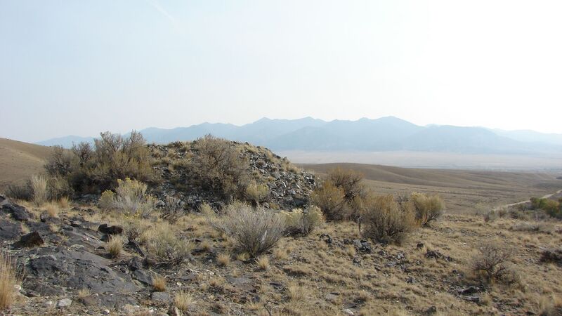
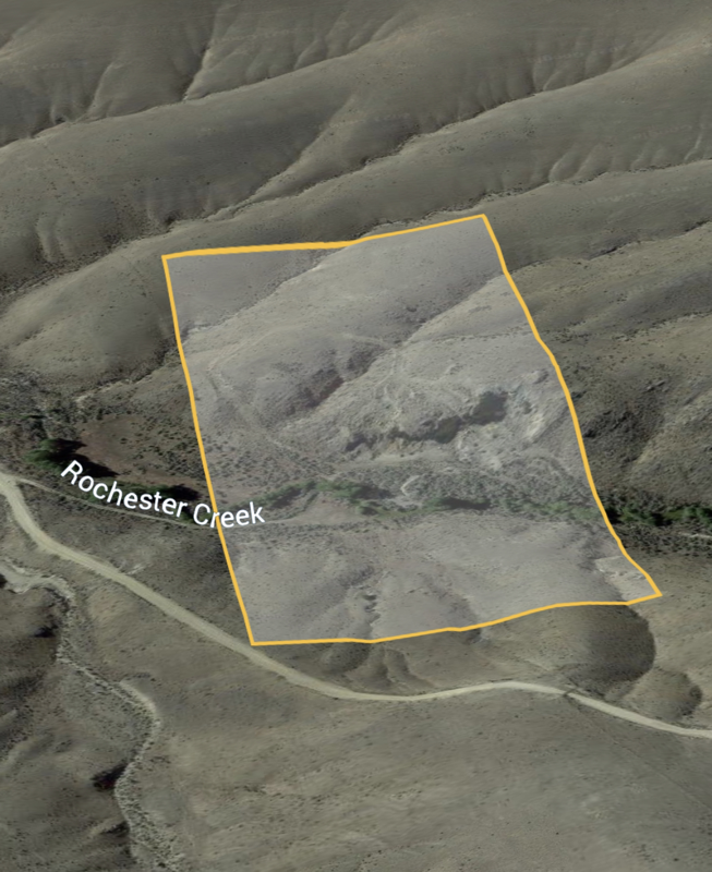
The Rochester is an undocumented mineral property located in the historic Rochester mining district of Madison County Montana.
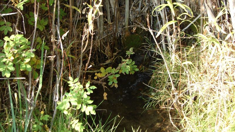
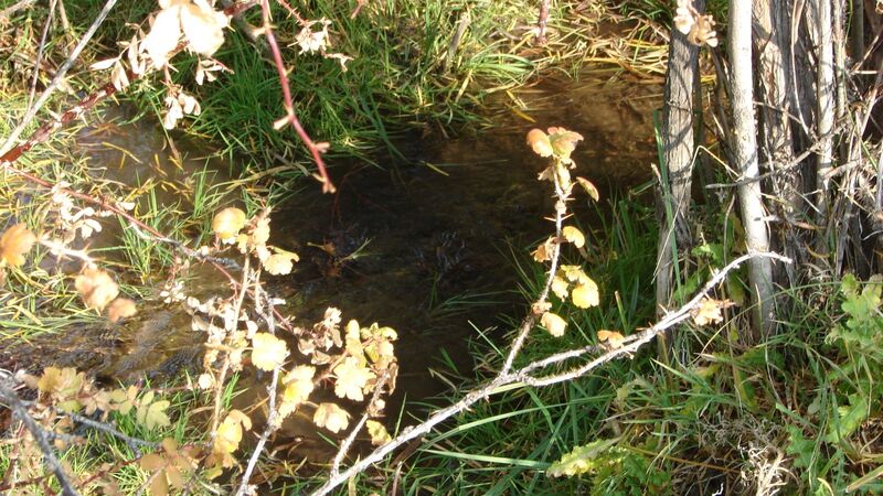
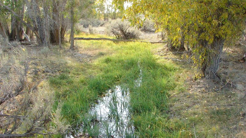
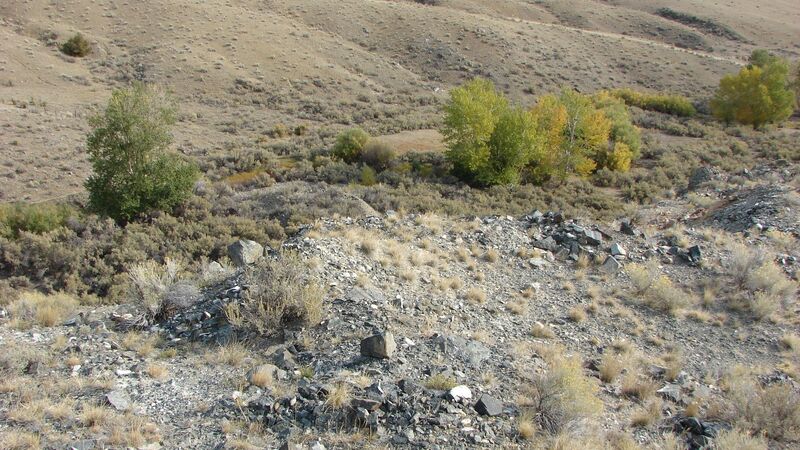
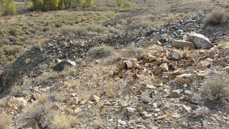
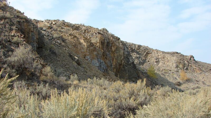
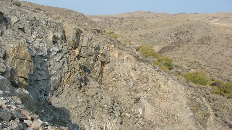
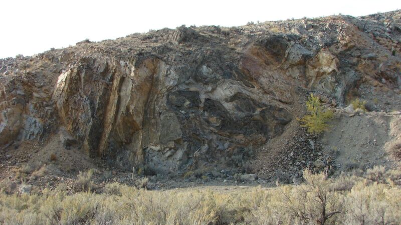
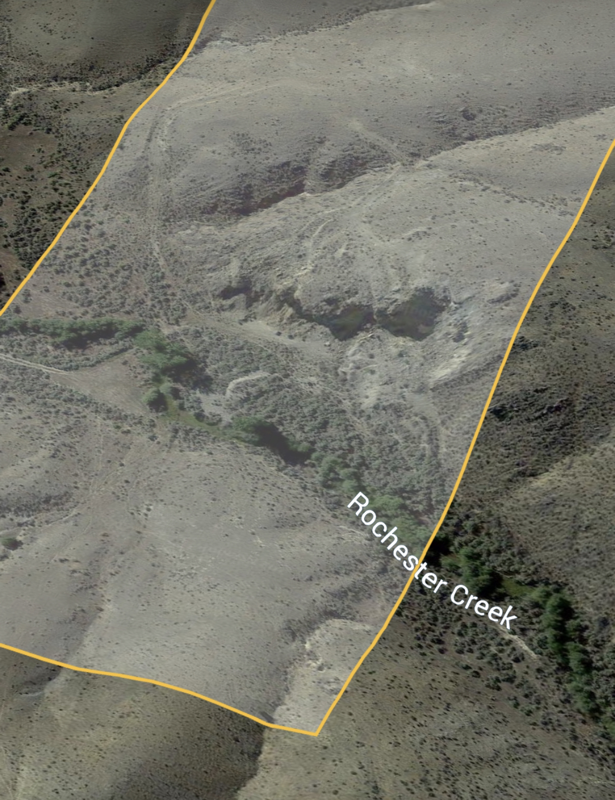
Featuring an annually flowing creek, base level and terrace gravel deposits, open face mine-quarry type workings from the early 1920's and secluded access for most vehicles.
The Gold production of Madison County is exceeded in Montana only by that of Silver Bow and Lewis and Clark county districts. The majority of recorded Gold was produced before 1904 from the placer deposits around Adler Gulch and the surrounding areas.
This twenty acre parcel is set on the further most available deposits of Rochester Creek, gaining the advantage of tertiary runoff Gold from the mines further up the district's tributaries.
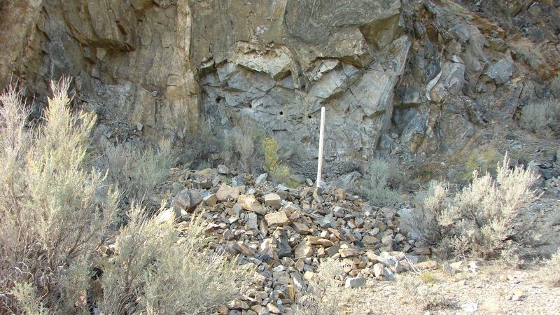
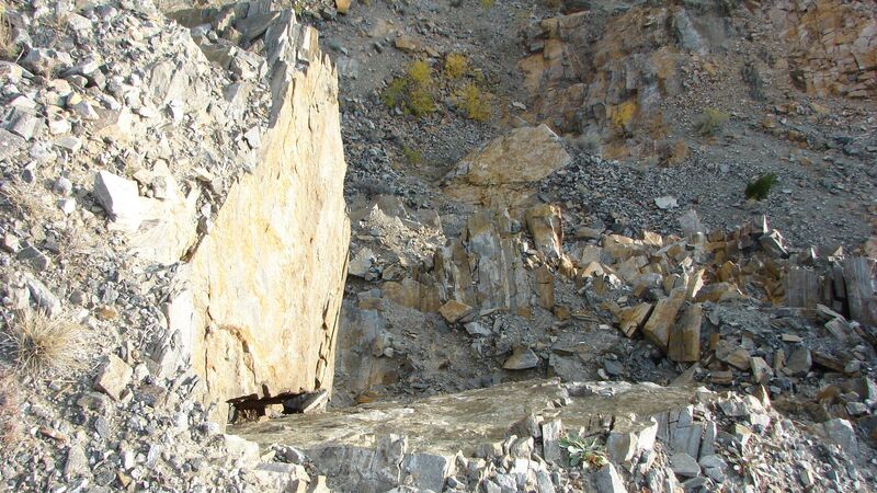
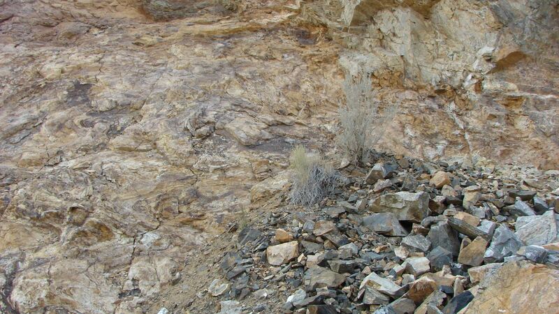
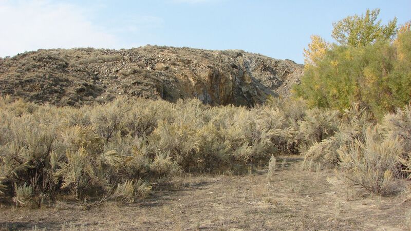
Primary deposit is a large quartz vein, with an 80 degree strike/ NE into the hillside. Vein size varies from 8" inches in width to over 2.5'feet, visible length runs the face of the quarry, over 75'feet.
Virgin vein structures, as well as pre-drilled areas are available for sampling and processing.
The Gold in the Rochester area is known to range from 0.25-1 ounce per ton of free milling Gold, with additional values of up to 4 ounces per ton after roasting and smelting.
Secondary resources of Silver and Copper are also available in the area.
Placer deposits are flake and coarse gold, washed and eroded down form higher formation veins and deposits of the district, secondary deposits consist of fine grained flower Gold eroded from the hillside outcroppings in small amounts.
With a moderate flow rate and depth of between 6"inches -to-1'ft, the area features potential for a stream sluice, high-banker or small dredging operation.
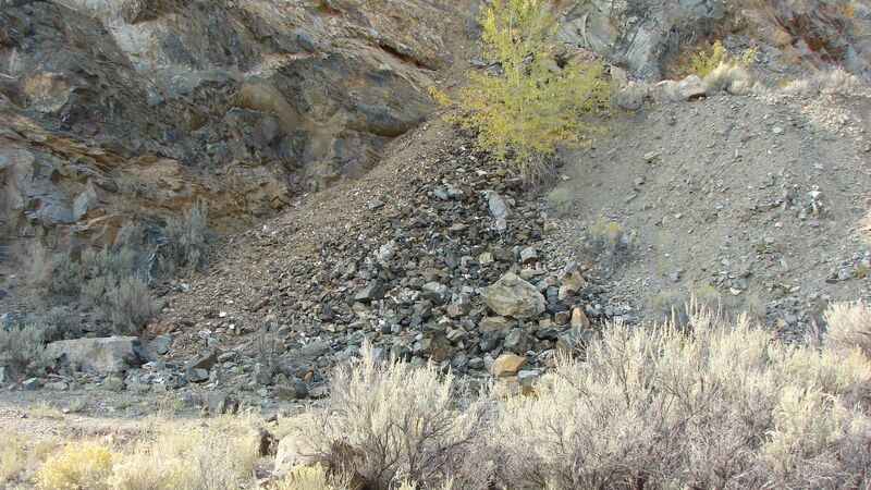
Secondary resources are available in the upper level quarry workings.
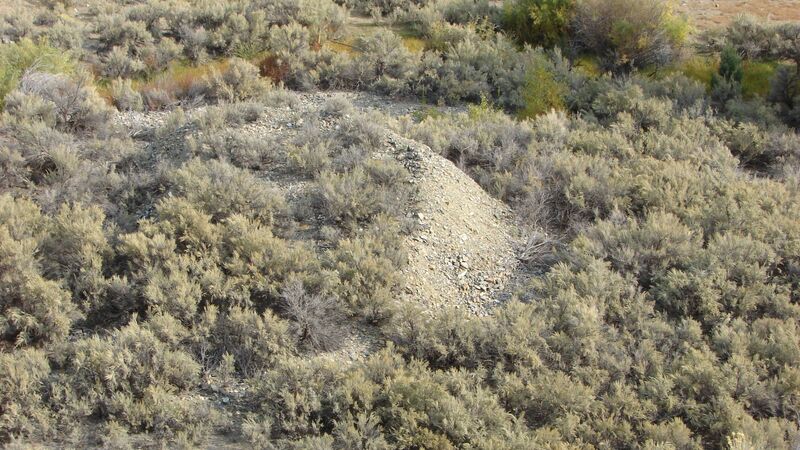
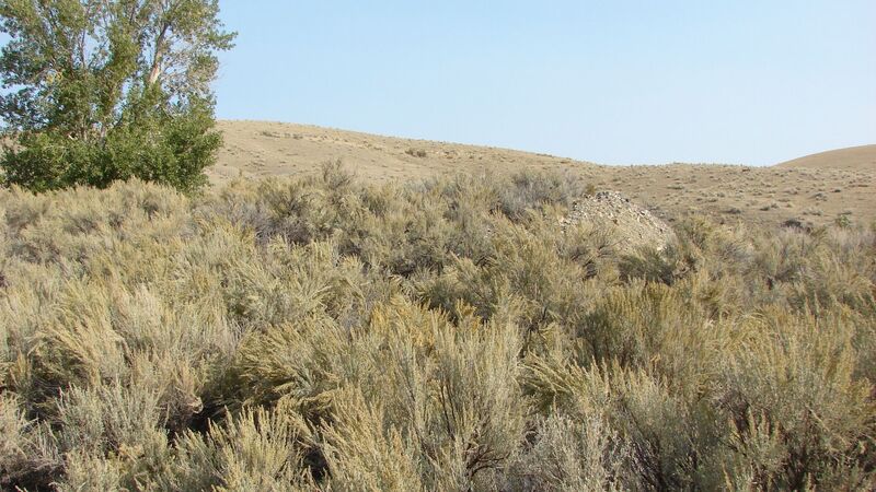
Developed into both the upper terrace gravel deposits, as well as the upper cliffside outcropping, the quarry features potential deposits in place as well as the older mine spill.
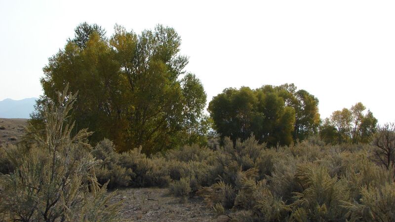
A primary staging and parking area is available near the Creekside, with partial tree cover and large open areas for any sized camper.
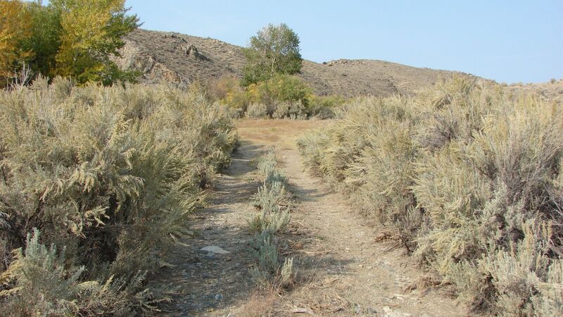
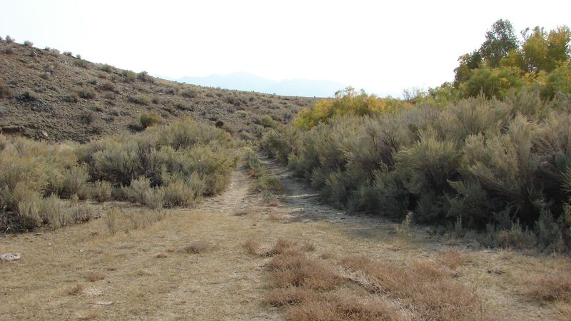
Access to the area is provided by an excellent grade older dirt road, suitable for most vehicles in the warmer months.
Winter access will require snow chains and snowmobile capabilities.
An excellent location for the beginning enthusiast, up to an established mining company.
•Commodities: Gold
• Claim designation: un-patented Lode/Placer
• Size: 40 acres
• Location: Madison County, Montana
• Claim designation: un-patented Lode/Placer
• Size: 40 acres
• Location: Madison County, Montana
