The Ophir Placer
(Placer)
(20 acres)
Powell County, Montana
$19,000
Under Contract
(Placer)
(20 acres)
Powell County, Montana
$19,000
Under Contract
•Commodities: Gold
• Claim designation: un-patented Placer
• Size: 20 acres
• Location: Powell County, Montana
The Ophir placer is a documented mineral property in the Ophir mining district of central Montana.
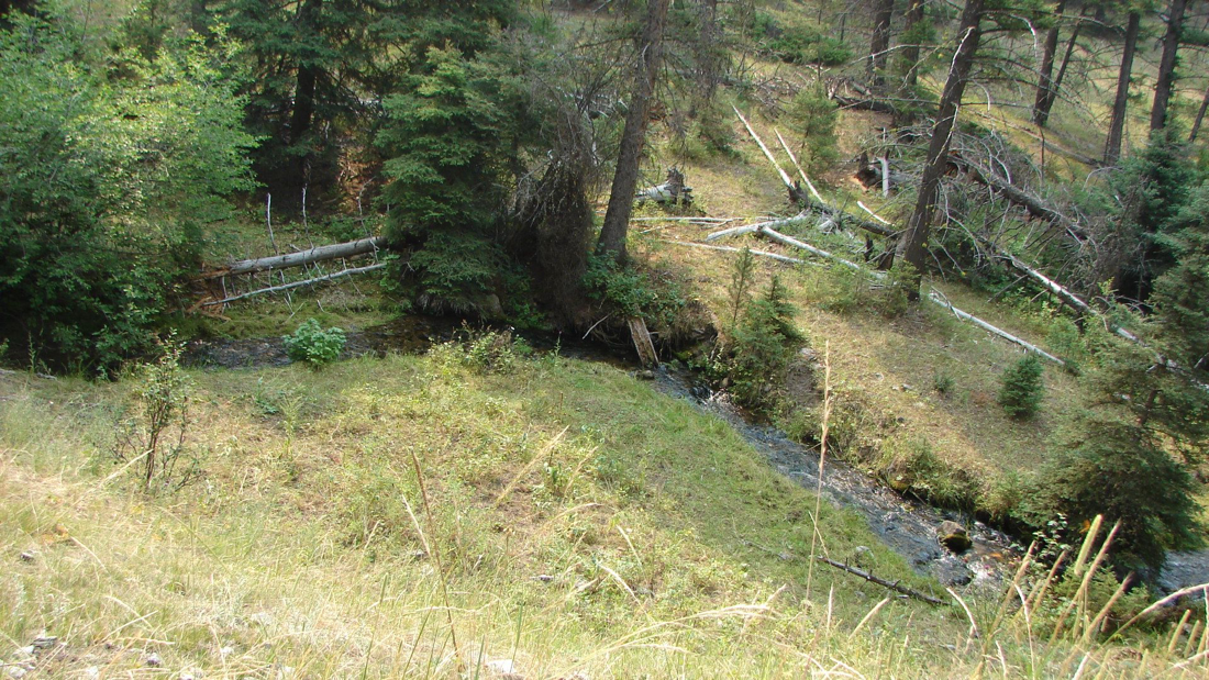
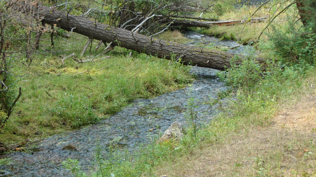
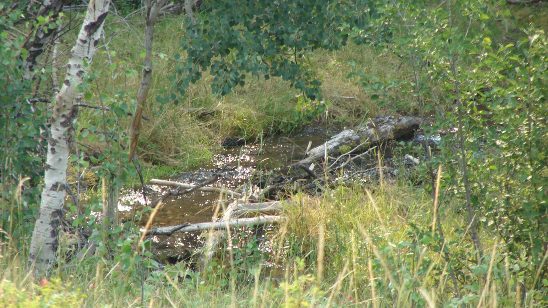
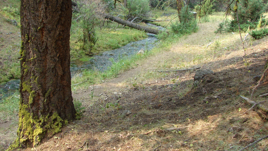
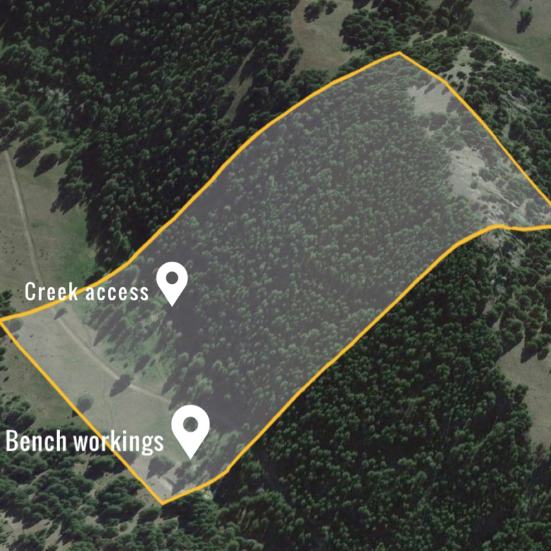
Featuring over six-hundred feet of creek access, Gold deposits in the gravel bars, an open-cut drift mine from the 1960s, and a secluded location.
The Ophir district is located North East of Helena Montana, near Elliston. The primary commodity list is Noted for Gold, Silver, Copper, Phosphorous, and Tungsten.
Production history shows the Ophir property worked during the 1960s, with original deposits discovered during the 1890s.
A large open-cut mine over 15 feet in width and nearly 8' in depth is located on the bench gravels west of the creek bed.
Originally developed by hand, the open-cut mine is likely to have been developed under previous ownership during the 1960s.
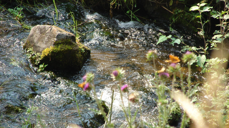
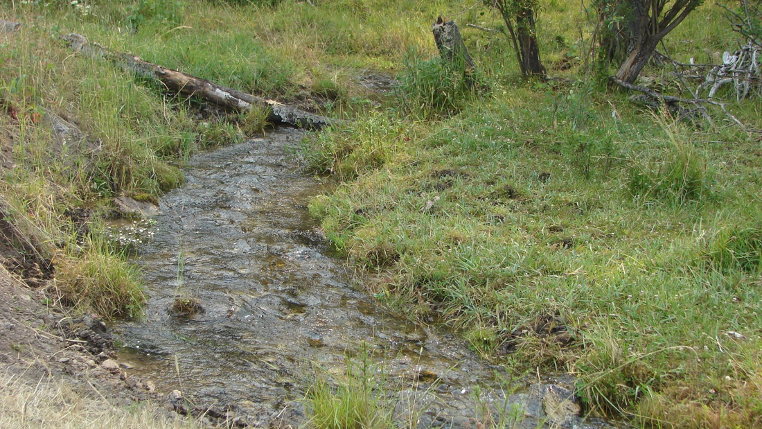
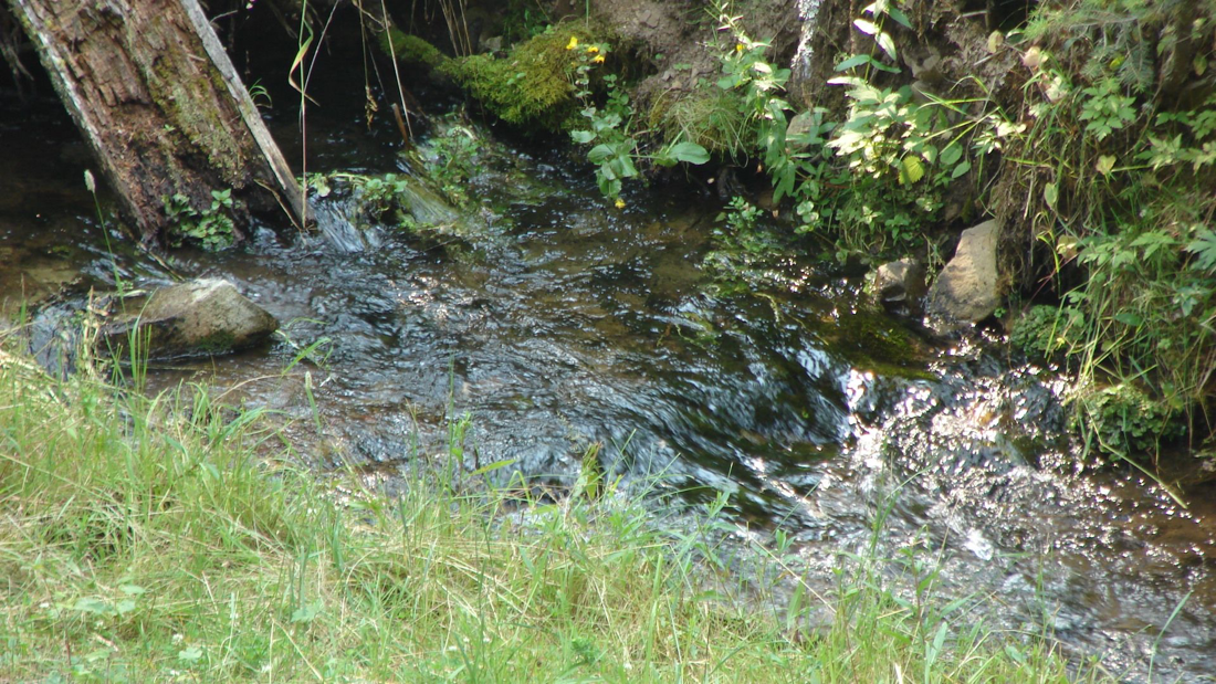
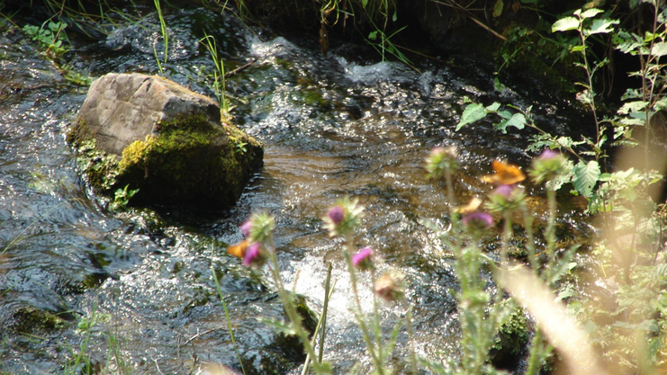
Creek water is annual with moderate flow rates, suitable for high-banker or dredging operations, as well as casual gold panning.
The depth of the creek is between 6" and -1.5 feet, and the width of the creek is between 3.5-to-5 feet.
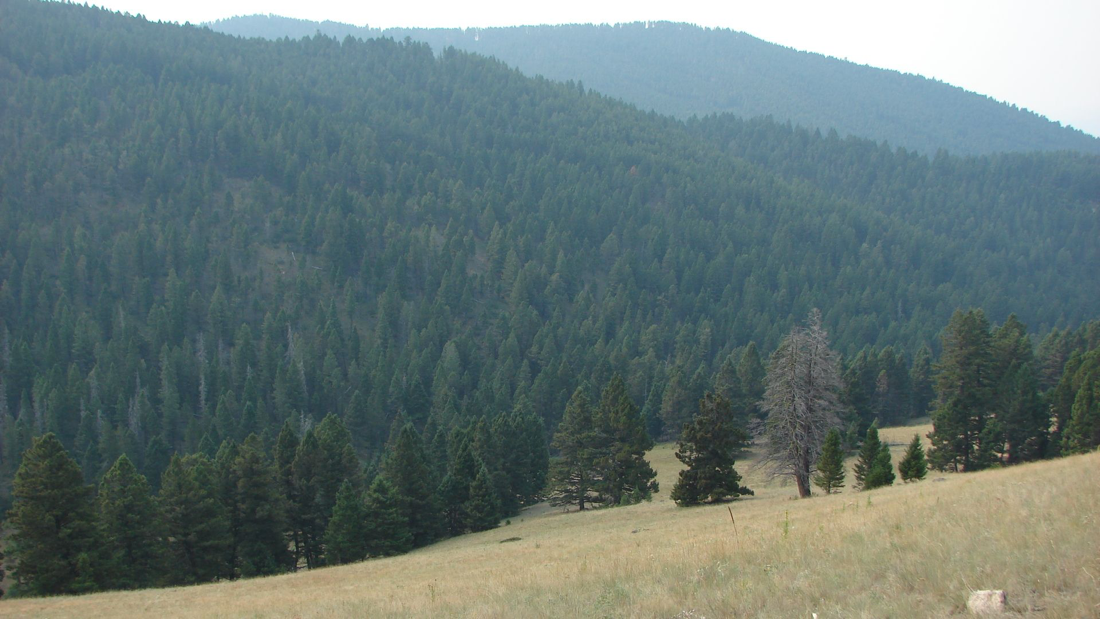
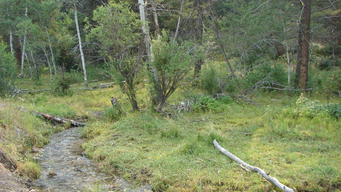
The Northern portion of the Ophir is heavily wooded with the potential for undiscovered deposits.
- Placer workings consist of substantially sized gravel bends on the creek level.
- Secondary workings are available in the open-cut mine that is developed into the upper-level bench deposits.
- Gold values are estimated at between 0.5 -to-1.3 grams per yard.
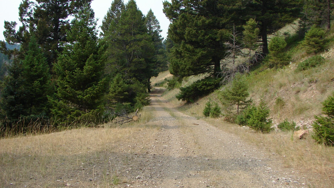
The secluded location is accessible during the warmer months by most vehicles, with snowmobile access between December -through-May. A camping and staging area is located near the creek, featuring a secluded forest-covered area.
An excellent location with substantial opportunities for the beginning enthusiast up to an established mining company.
