The Mohave Chief
(Lode)
(20.66 acres)
Mohave County, Arizona
$19,500
Now Available!
(Lode)
(20.66 acres)
Mohave County, Arizona
$19,500
Now Available!
•Commodities: Gold, Silver, Tungsten
• Claim designation: un-patented lode
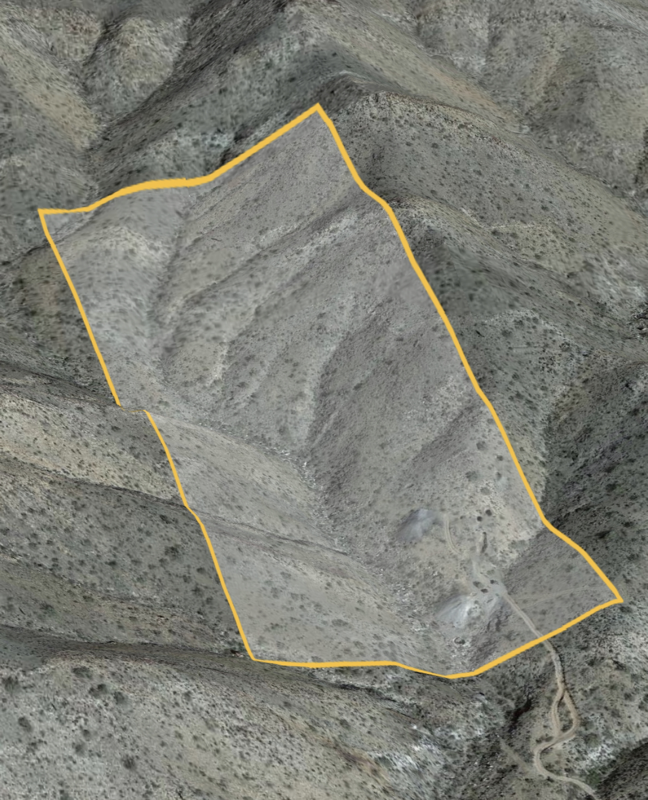
• Size: 20.66 acres
• Location: Yavapai county, Arizona
•Financing available with $1250.00 down and monthly payment of $145.00
•Direct deed purchase options available
The Mohave Chief is a documented mineral property in the Chemuhuevi mining district of Western Arizona.
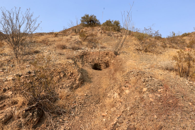
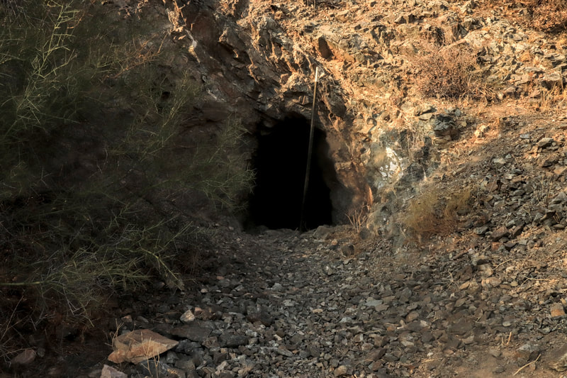
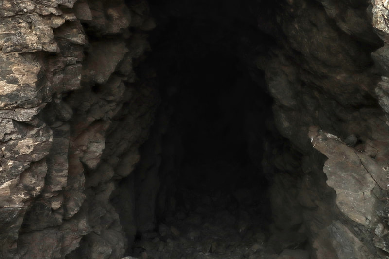
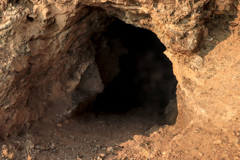
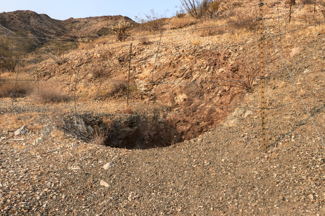
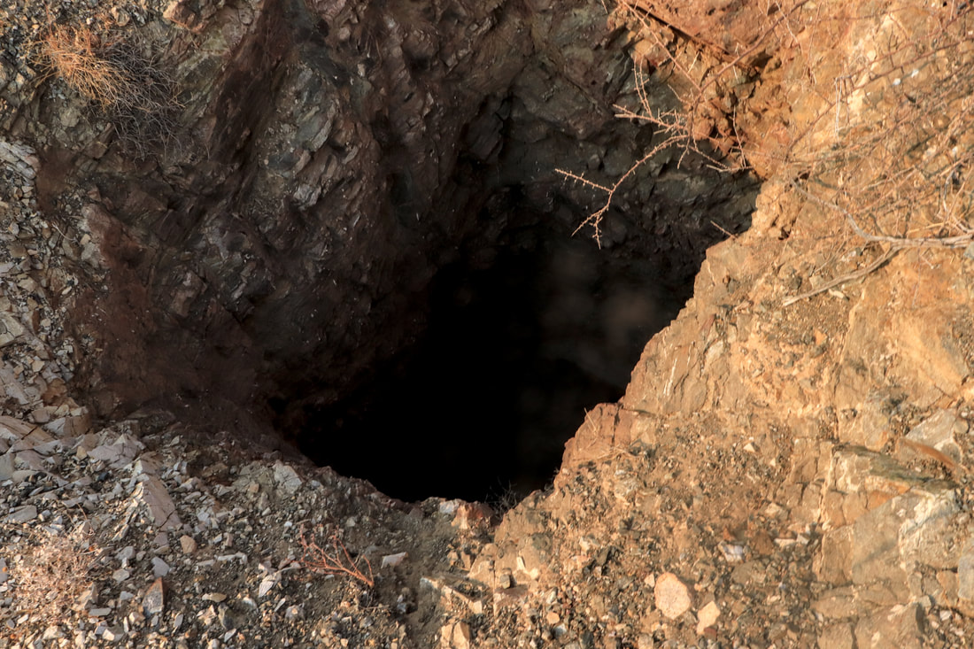
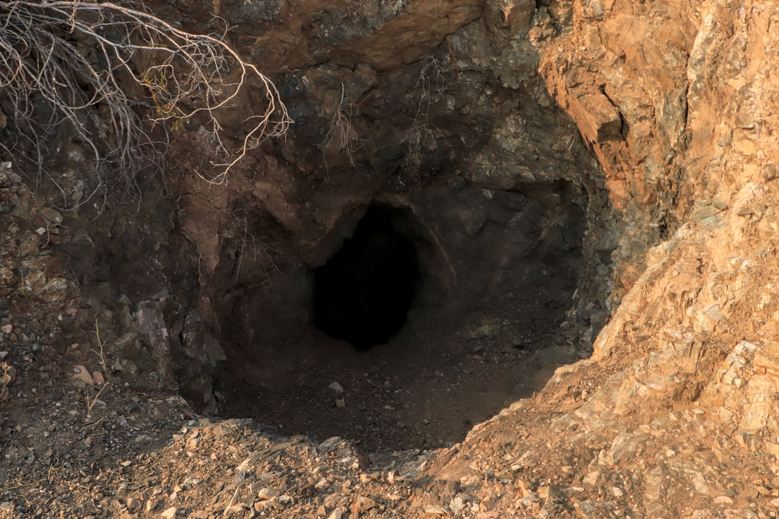
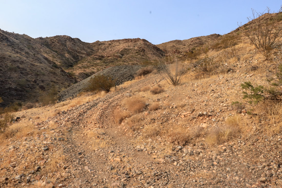
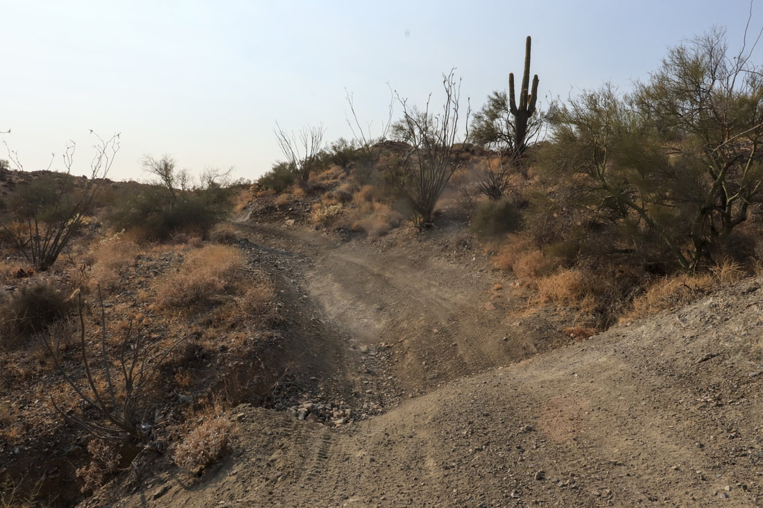
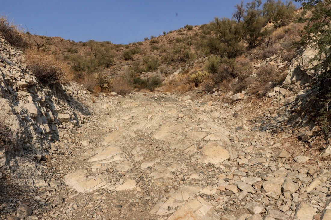
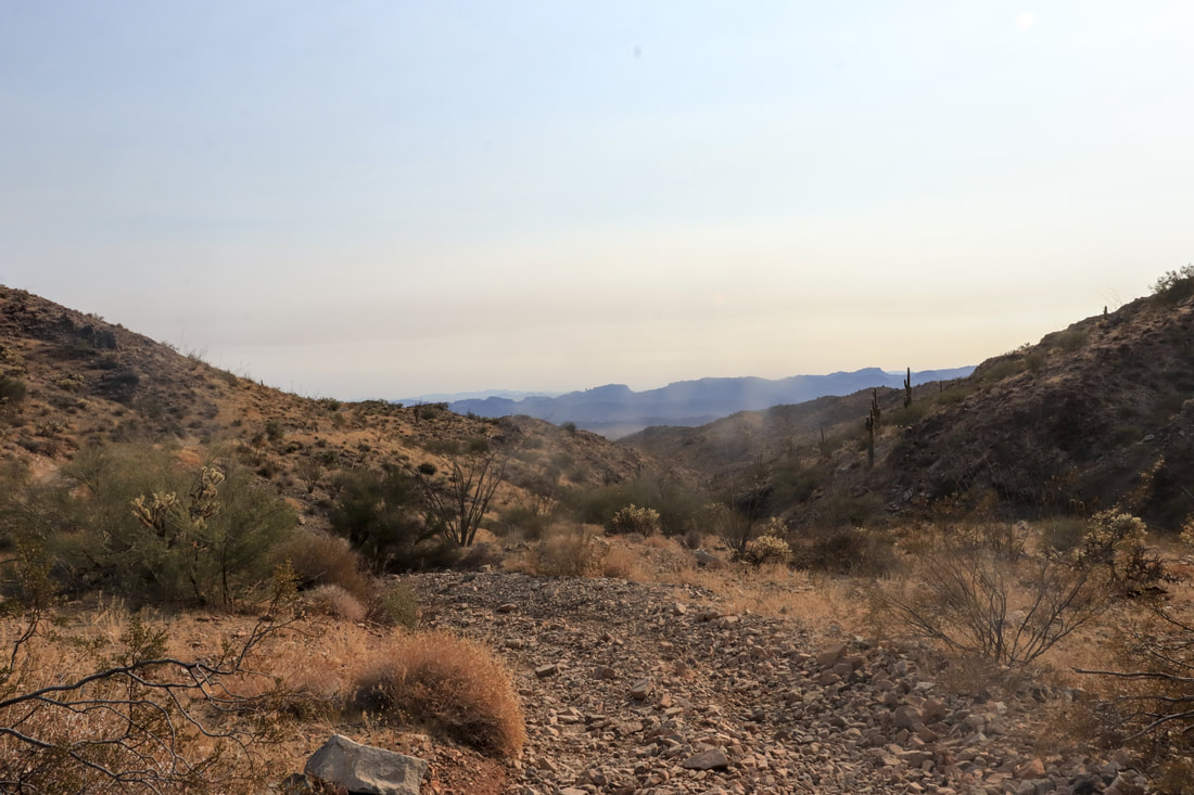
Previously known as the Asar, Dutch Flats, and originally the Kampff mine, this property features multiple underground entrance portals, over 1200 feet in stock-workings, 30,000 yards of mineralized mine spill, excellent underground reserve potential and an extremely secluded location available to high clearance/off-road vehicles only.
- The principal mineral commodities mined or prospected in the Crossman Peak area have been Gold, Silver, and Tungsten. The first claims date back to the early 1860s and were filed under locally established mining districts, before the enactment of the 1872 mining law.
Crossman Peak is named for A. G. Crossman, a placer miner who was referred to in 1900 as the "Gold King of the Chemehuevi" (Mohave Mountains) (Malach, 1974).
Placer activity reached its peak during the depression years of 1929-1933 and has been rejuvenated during times of economic recession or when gold prices were high.
The Dutch Flat Mines, (originally the Kampff Mines) were located in 1870 on the southeastern side of the mountains and were the first lode claims developed in the area.
(*-U.S. Bureau of Mines Mineral Land Assessment MLA 82-83 1983)
- Primary workings consist of two haulage adits, driven at a 90-degree angle into the mineralized hillside outcropping; as well as four inclined shafts about 100 yards north of the adit portals.
Underground workings are estimated at well over 1500 feet with two intersecting drifts, raises and winzes for shaft connections present near the interior plane.
- The lode deposit is a NE-to-NW trending quartz vein, with faults in a Precambrian gneiss complex.
Estimated Gold values are 0.33-to-1.5 Opt, with Between 7.5-to-20 Opt in estimates Silver values.
Two large mine spills are located beneath each haulage adit, an estimated amount of over 30,000 tons in mineralized spill is located on the property.
The mine spill is comprised of low-to-mid grade ore and host rock, offering a secondary resource potential to be crushed and processed.
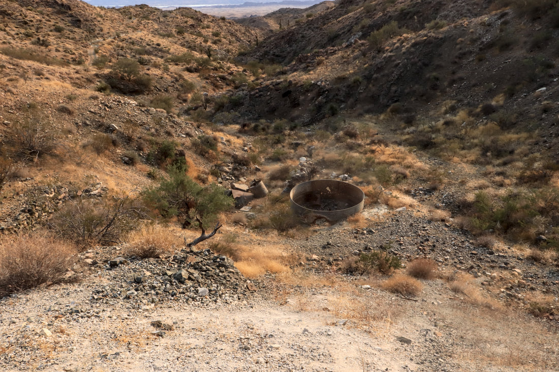
The mill site and leaching operation remnants are located just beneath the primary adit spill, a few relics and leaching tanks rest in the area from workings prior to WW2.
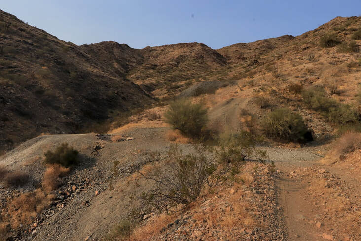
Access to the extremely secluded mine is available to off-road/high clearance 4x4 vehicles, ATV and horseback.
Standard clearance vehicles cannot access the area.
This completely off-grid location features the potential for solar power, generator, and water storage, with a large camping and staging area for development.
A perfect location to get far away from it all.
Suitable for the beginning enthusiast up the established mining company.