The French Lilly Mine
(Lode)
(40.00 acres)
Yavapai County, Arizona
$37,000
Under Contract
(Lode)
(40.00 acres)
Yavapai County, Arizona
$37,000
Under Contract
•Commodities: Gold, Silver and Copper
• Claim designation: un-patented lode
• Size: 40.00 acres
• Location: Yavapai county, Arizona
The French Lilly Mine is a documented Gold and Silver producer with extensive history development from the beginning in the early 1900's.
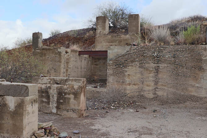
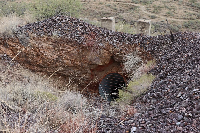
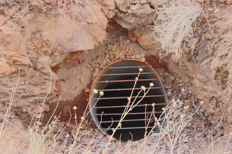
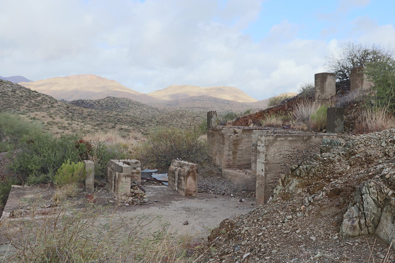
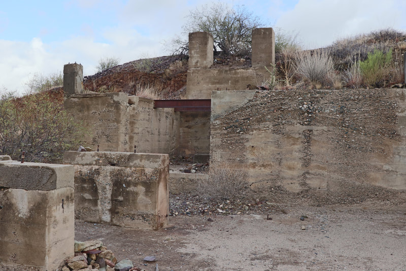
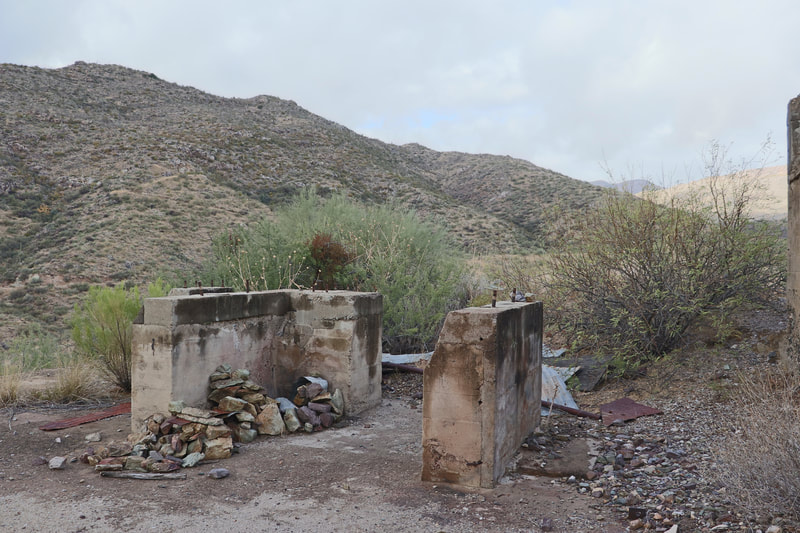
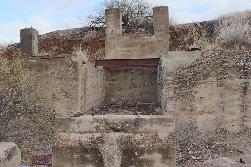
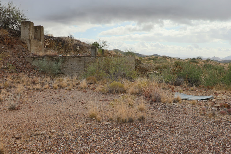
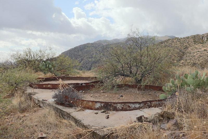
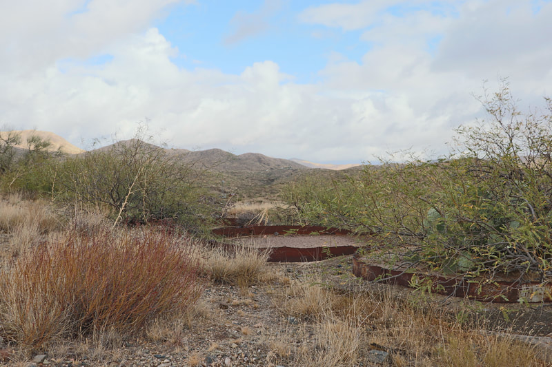
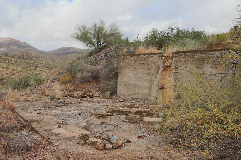
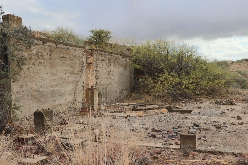
Featuring multiple underground access points, a massive inclined primary shaft, large concrete mill site foundations and over 1000' feet in combined underground workings.
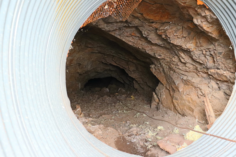
Underground workings are in excellent condition and easily accessible for exploration, further development and mining. Positive air flow is completed via dual mine shafts with good ventilation.
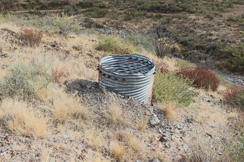
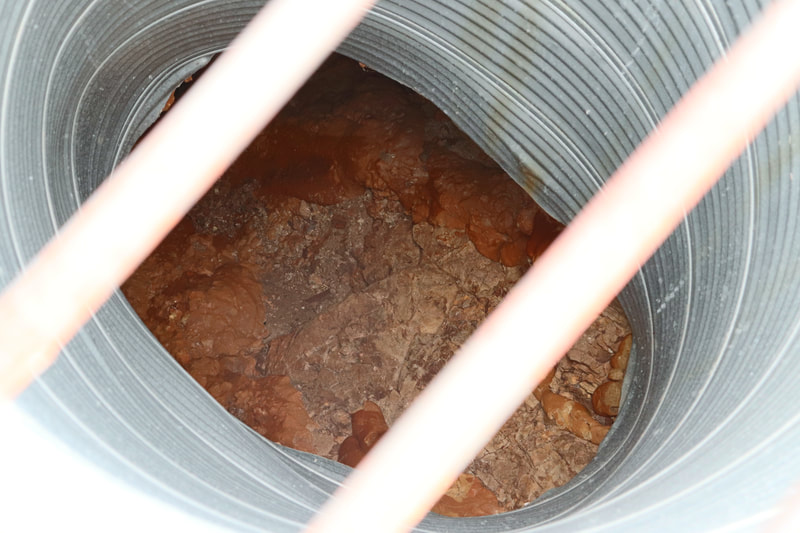
A large haulage and entrance shaft is present near the primary mill site serving as the primary entrance to the workings. Driven nearly 450' feet at a 45 degree angle to the extensive drift works, then connecting with a secondary vertical shaft present near the eastern raise.
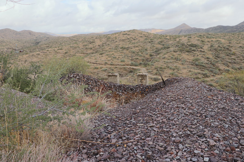
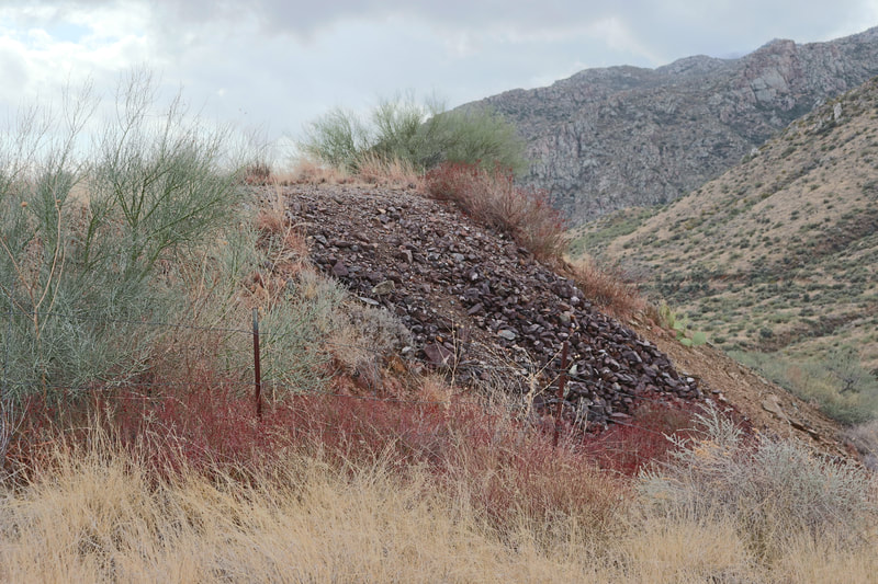
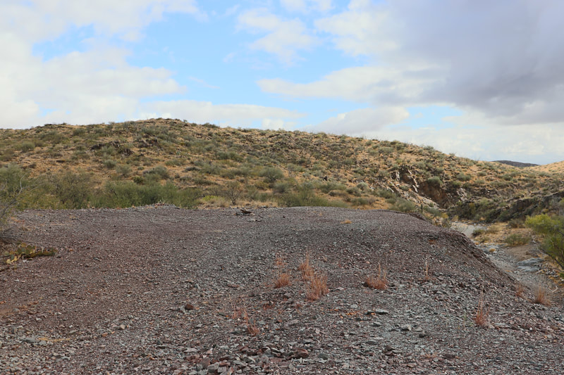
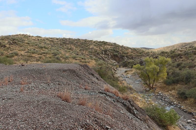
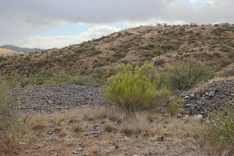
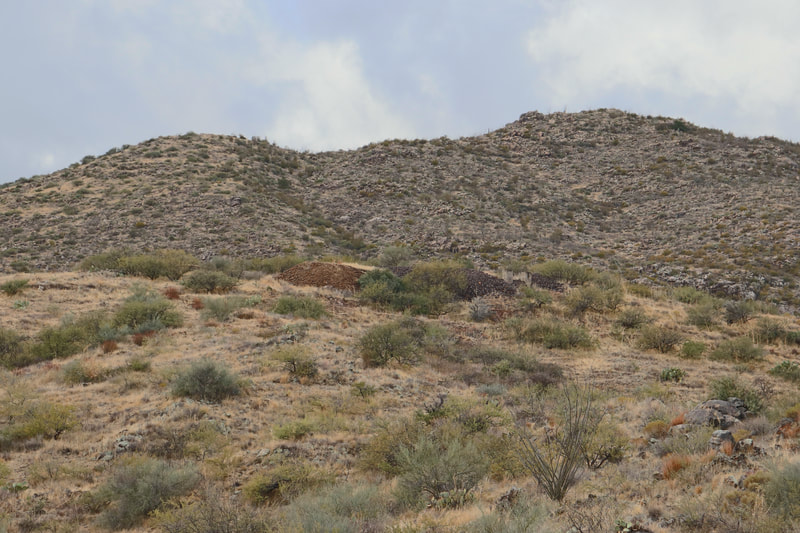
Estimates of over 80,000 yards in mineralized mine spill is available near the primary and secondary shaft portals for metal detecting and further processing.
Primary minerals of interest are auriferous pyrites (gold bearing), free milling gold, Galena and Sphalerite ( Silver ore) and traces of copper bearing malachite.
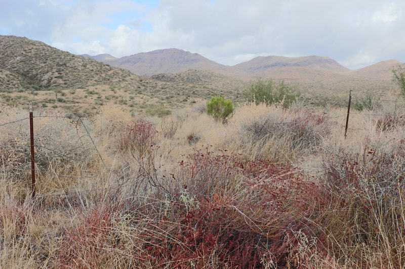
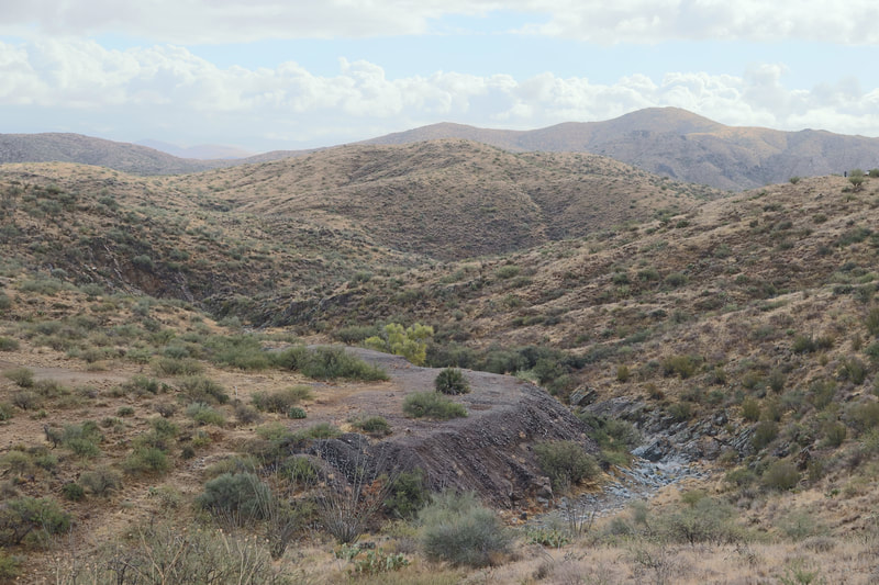
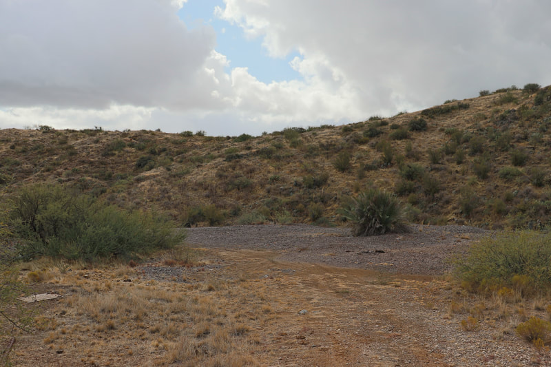
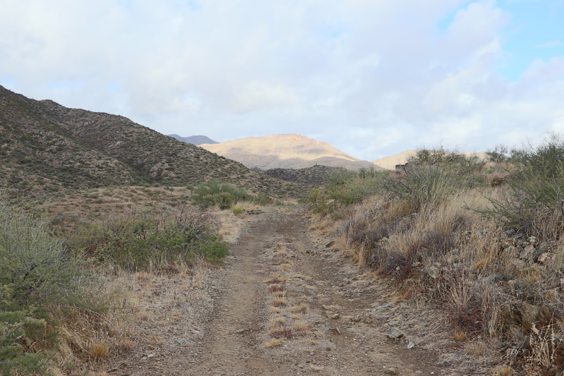
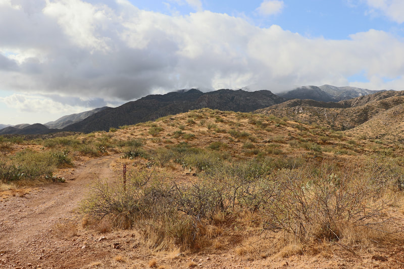
A highly secluded site with springtime water flow in the nearby creek beds, multiple level parking/ staging areas, and huge possibilities.
This historic mine is easily accessible with a higher clearance 2-wd vehicle or any 4x4.
Featuring a mild climate that encourages year round mining.
The perfect site for a small mining company or exploration enthusiast with a moderate knowledge of mining.
The French Lilly History - 1936 mining journal
French Lily The French Lilly mine is about 1 mile southwest of Cleator, Arizona. Some high-grade ore was produced from the property prior to 1907 then the mine 1ay idle until 1922, when about 3 cars were shipped. No shipments have been made since that date. In 1936 the property was being operated by the Souththwest Metals & Mines, Inc.
Work was completed of deepening the main shaft and building of a change house. The enterprise was financed by an $85,000 finance Corporation loan, according to H.P. Moran, the general manager, through whose courtesy the, accompanying data was obtained.
A quartz vein containing the ore on this property dips north, at about 45 degrees, following the contact between Yavapai schist on the hanging wall and diorite on the footwall.
Two and one-half feet of the vein averages $10.19 in gold and $0.77 in silver(1936) to the ton in the upper workings, and 0.49 opt gold with a trace of silver in the lower 85 feet of the shaft. The ore was mined in open stopes.
The management contemplated the erection in the near future ,of a' 50-ton flotation mill on a side hill a few hundred feet southeast of the present shaft. Ore will be raised through a shaft that will connect the mill directly with extensions of the present mine workings.
The present shaft is a 450 foot incline that follows the vein on its dip. The first level is 80 feet down the incline; with drifts that follow the vein -120 feet to the east and 140 feet the west of the shaft.
In the faces of the drifts the vein is not very well defined on the second level.
The east drift on the second level is only about 100 feet long, but the west drift follows the vein for 665 feet. The vein is not very distinct, however it is visible in the last 100 feet of this drift.
From the second level two raises were driven on the vein. The first was started from a point about 400 feet west of the shaft; at a distance of 134 feet it broke into a short adit near the surface.
The second raise is 100 feet farther west. Levels are equipped with heavy gauge tracks of 25-pound rails on which a 1,200-pound car was operated; it is dumped directly into a skip at the main incline.
The shaft is well-timbered with 16 by 8-inch 3/4'sets' on 5-foot centers and close-lagged.
The section of the incline measures 12 by 7 feet inside the timbers and is divided into a narrow manway anti-a skip way. The skip compartment is provided with 25-pound-rails on a 24-inch gauge. The broken rock is hoisted in a 13-cubic foot self-dumping skip of 1200' pounds capacity. It dumps into a hopper built into the headframe from which the contents can be dumped directly as waste or loaded into rail cars to be trammed to other parts of the mine for storage.
The hoist is of the single-drum, geared type, driven by a'20-horsepower variable-speed motor. It carries 500 feet of 1/2-inch wire rope and has a maximum,hoisting speed of 275 feet per minute.
The bottom of the main incline is now (farch - 1936) 85 feet below the 160-foot' level; the rock section is 5 by 9 feet.
Air is furnished by a 6-cylinder, 2-stage compressor driven by a 60-horsepower motor with a belt.
Near the hoist house, the company is building a modern change house equipped with wash basins, showers and toilets. Twenty individual clothing lockers have been provided. The building is heated with a centrally located stove of generous proportions.
- 1936 mining journal
Black Canyon District History
Gold was discovered in the Bradshaw Mountains in 1863. The first mining in the region was done in 1875. The ore was at first Shipped to Swansea, Wales, by way of the Colorado River and the Gulf of California. The Southern Pacific and Atchison, Topeka & Santa Fe Railroads were built in 1881. and ore Shipments were then made to Denver and San Francisco.
- Access: Good condition dirt road for higher clearance off road 4x4 vehicles
- Underground access: A large inclined drift tunnel, secondary vertical shaft access and partially caved tertiary adit entrance.
- Minerals present in the area: Auriferous pyritic ore(Gold ore), Galena(silver ore) Malachite(Copper ore).
- Estimated underground workings: Over 950’ feet
- Estimated mine spill: 80,000 +tons
- Nearby city/town: Black Canyon City, Arizona
