The Cuprite Mine
(Lode/Placer )
(40 acres)
Albany County, Wyoming
$37,000
Under Contract
(Lode/Placer )
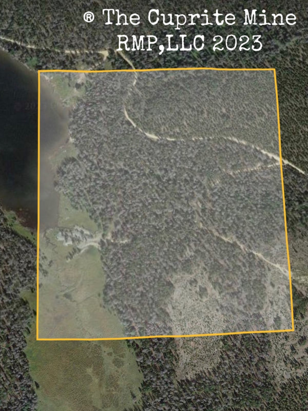
(40 acres)
Albany County, Wyoming
$37,000
Under Contract
• Primary Commodities: Gold, Silver, Copper
• Secondary Commodities: Chromium, Cobalt
• Claim designation: un-patented Lode and Placer
• Size: 40 acres
• Location: Albany County, Wyoming
The Cuprite Mine is a documented Gold, Silver, and Copper mine in the keystone mining district of Albany County, Wyoming.
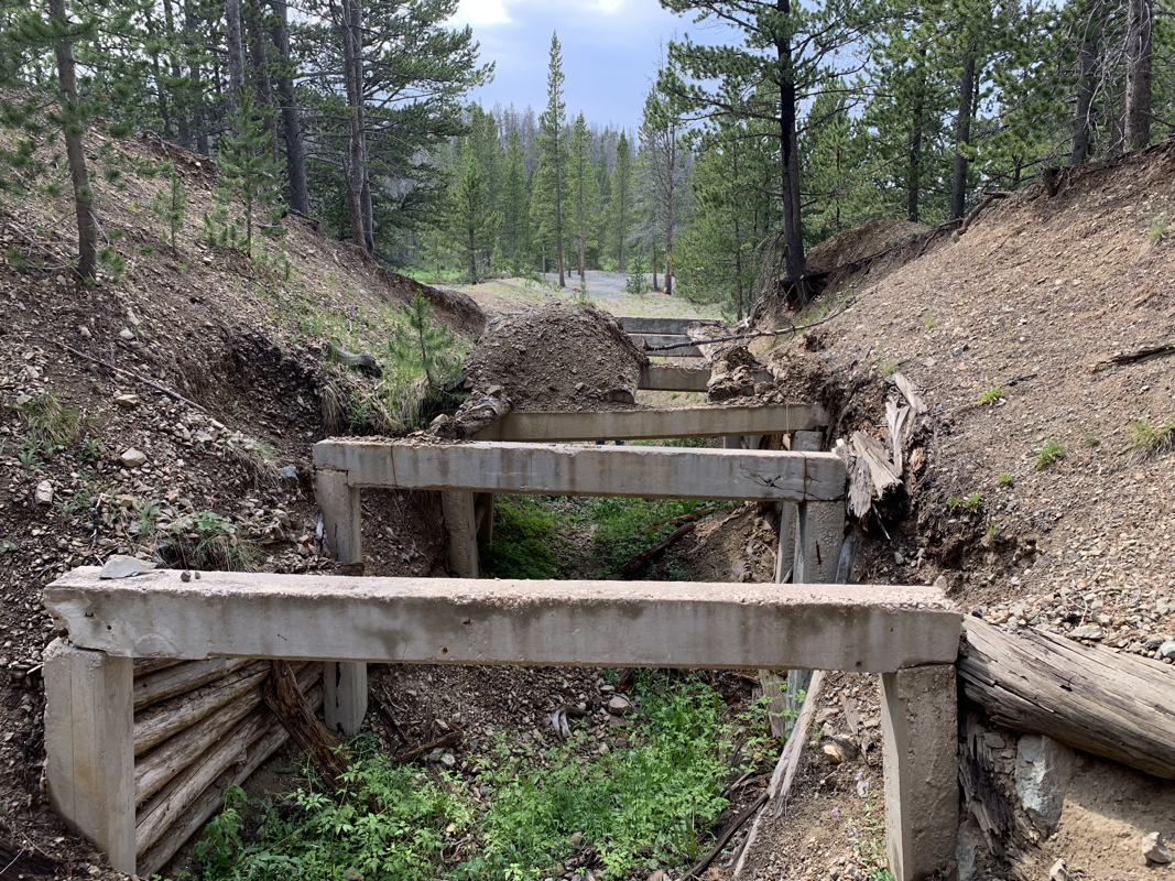
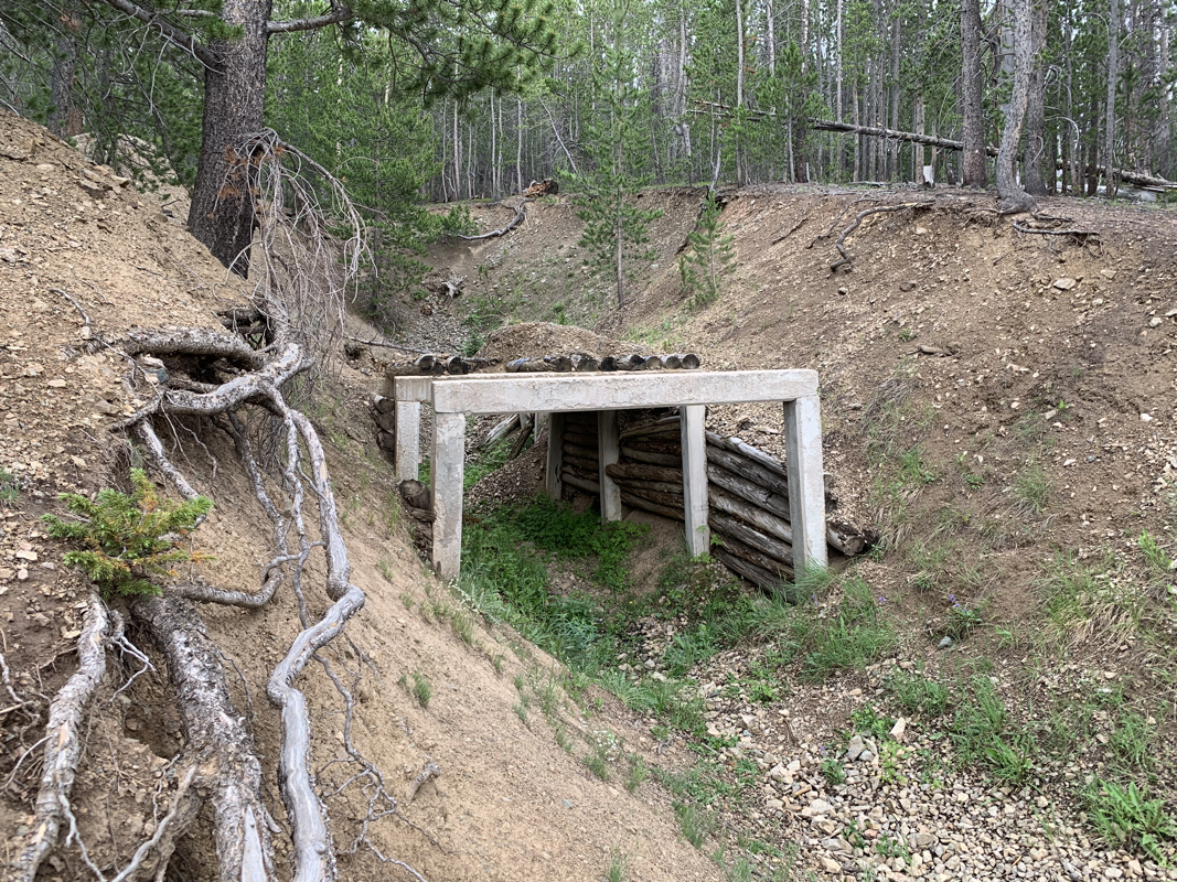
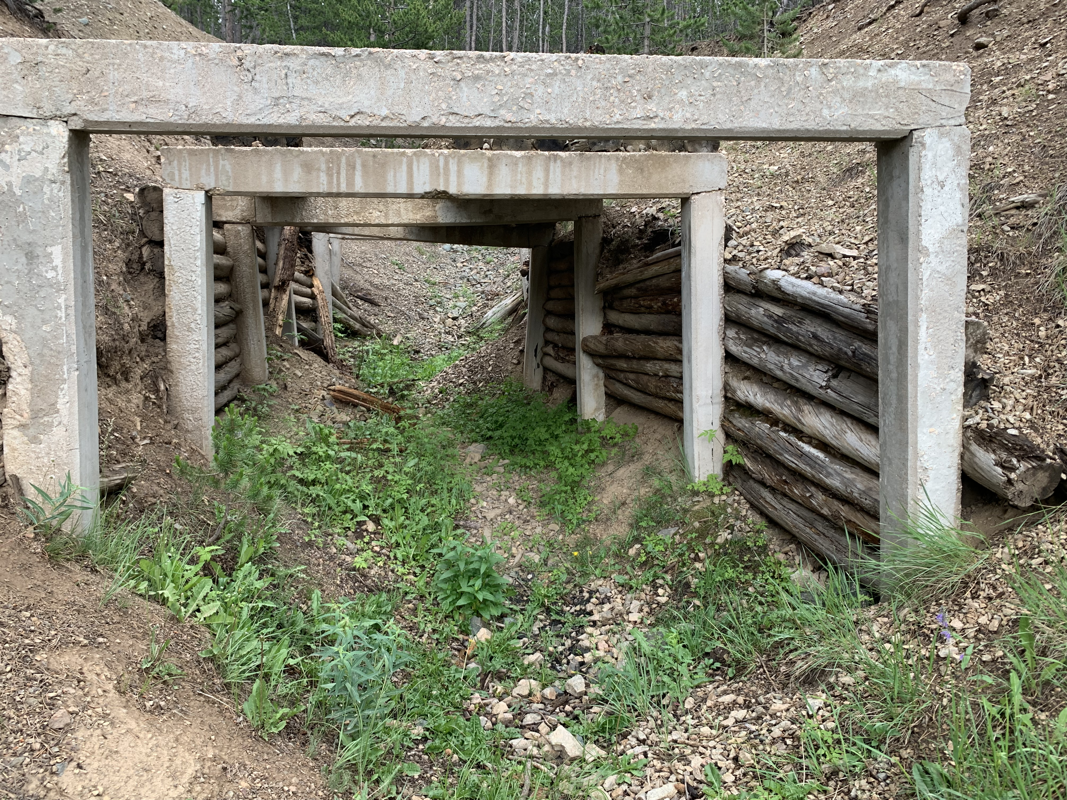
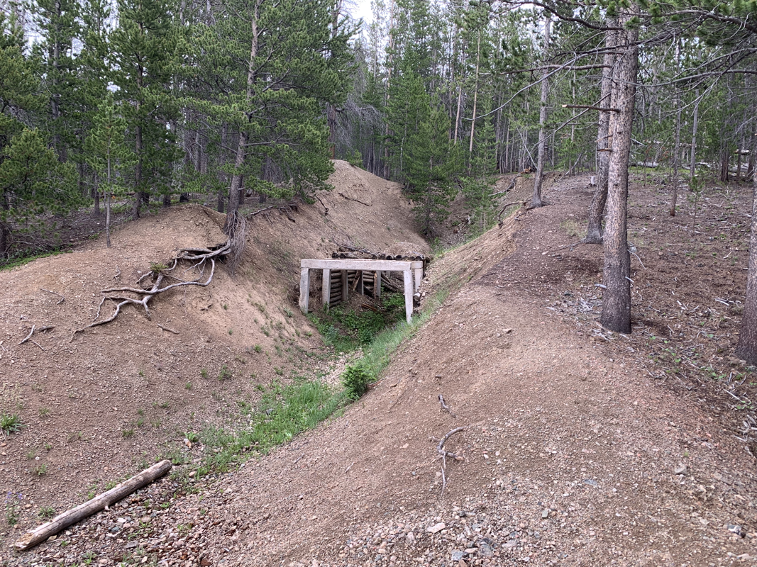
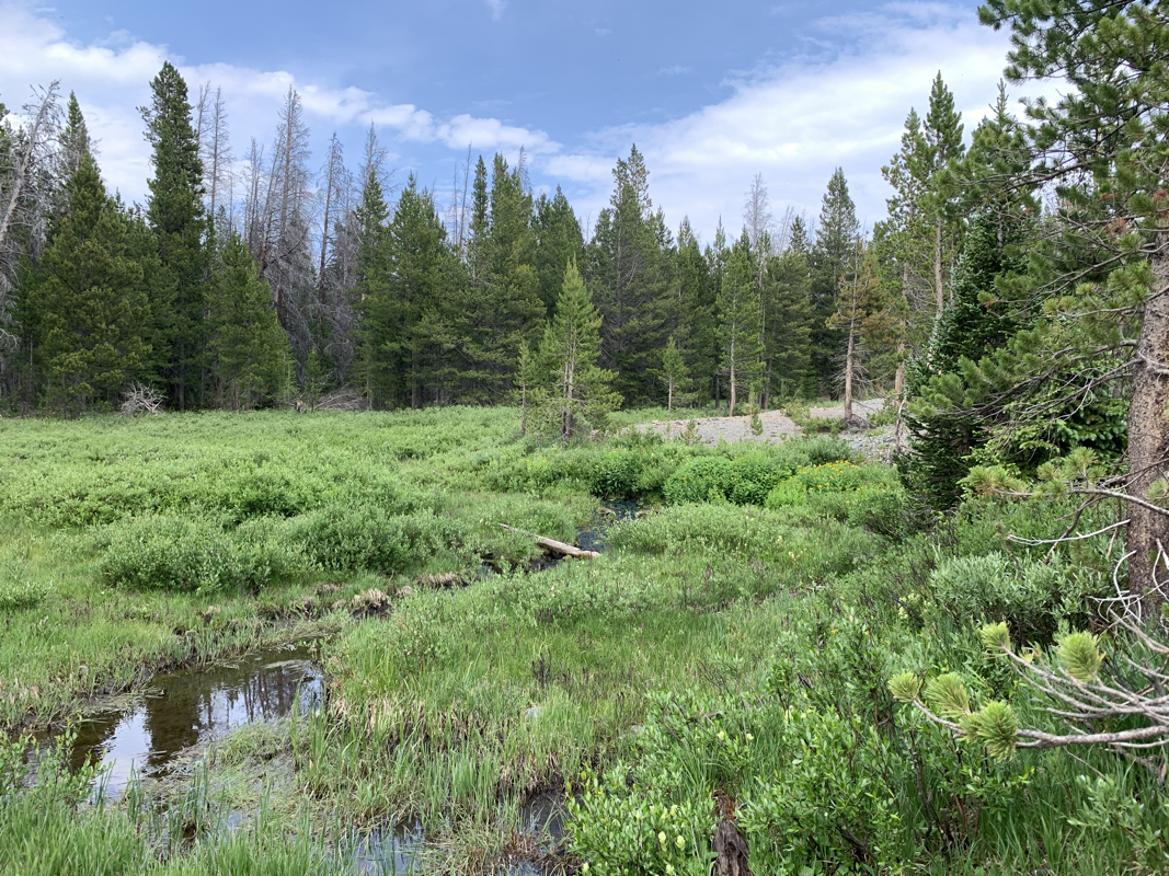
It features historical workings from the year 1900 including remnants of a 954’ foot concrete braced tunnelway, a small creek, and lakeside frontage.
The Keystone district surrounds the village of Keystone adjacent to Douglas Creek in the Medicine Bow Mountains and is considered to include all lode deposits adjacent to and within the Keystone quartz diorite.
(Currey, 1965).
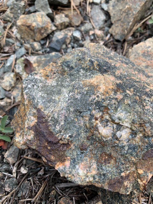
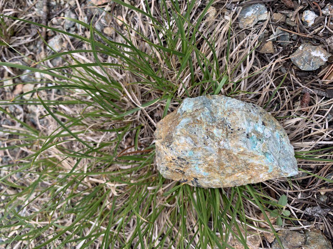
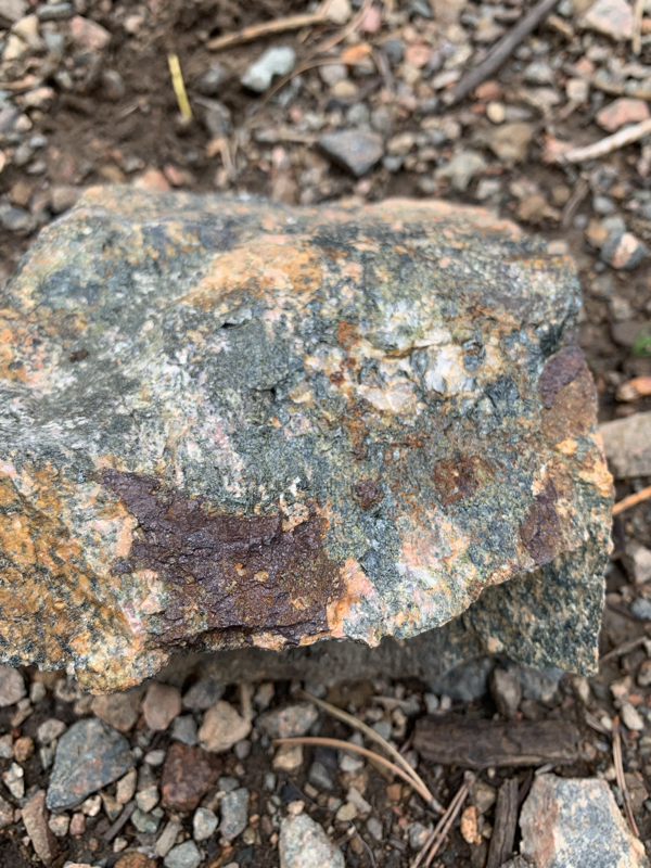
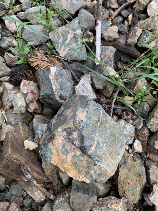
- Ore minerals include malachite, azurite, cuprite, native copper, and native gold in the supergene zone. The underlying hypogene minerals include chalcopyrite, bornite, pyrite, native Copper, and native Gold.
One of the less spectacular samples containing visible gold assayed 18 oz./ton Au.
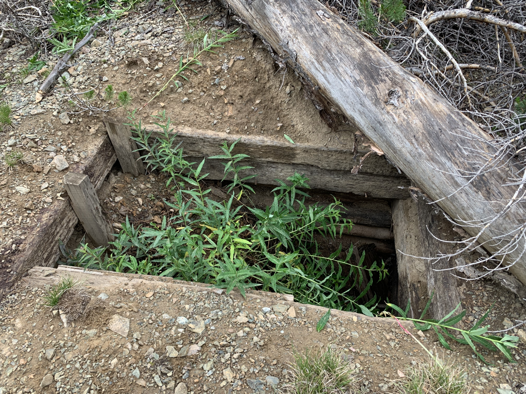
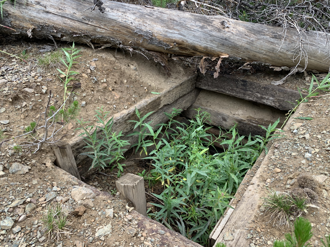
- Primary workings consist of an inclined shaft 165’ deep driven at a 15-degree angle into the mineralized ore trend of the Albany Vein. Shaft workings are located on the upper hillside above the adit workings.
The old tunnel was constructed with large concrete and timber supports during a previous operation in the 1960s.
Mineral estimates: The primary vein assayed 3 to 28% copper, 0.25 to 2.56 oz. per ton of gold, and 0.5 to 2.00 oz. of Silver per ton.
Precious Cobalt and Chromium ores were also reported as tertiary commodities, though not actively sought after during the 1960s era.
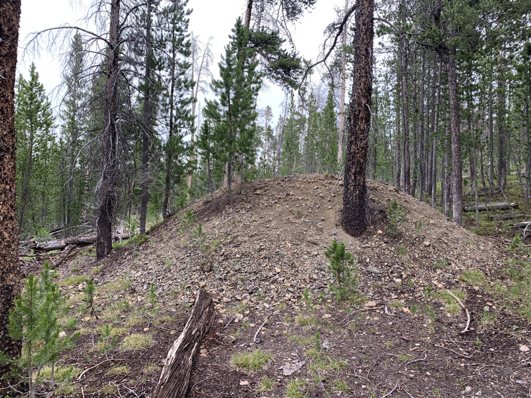
A significantly sized mine spill emanates from the main adit portal to nearly 600 feet in length and 6 feet in depth. estimated at well over 300,000 yards in material, the mine spill is comprised of granite/ feldspar host rock and low to mid-grade ores.
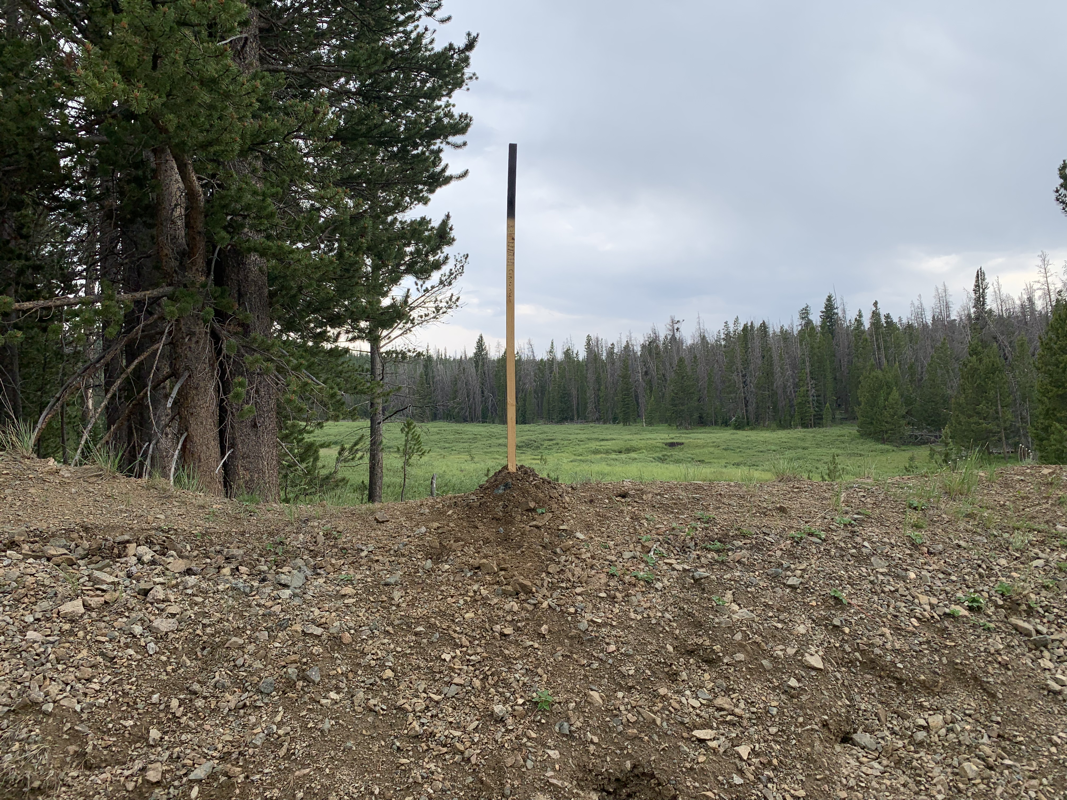
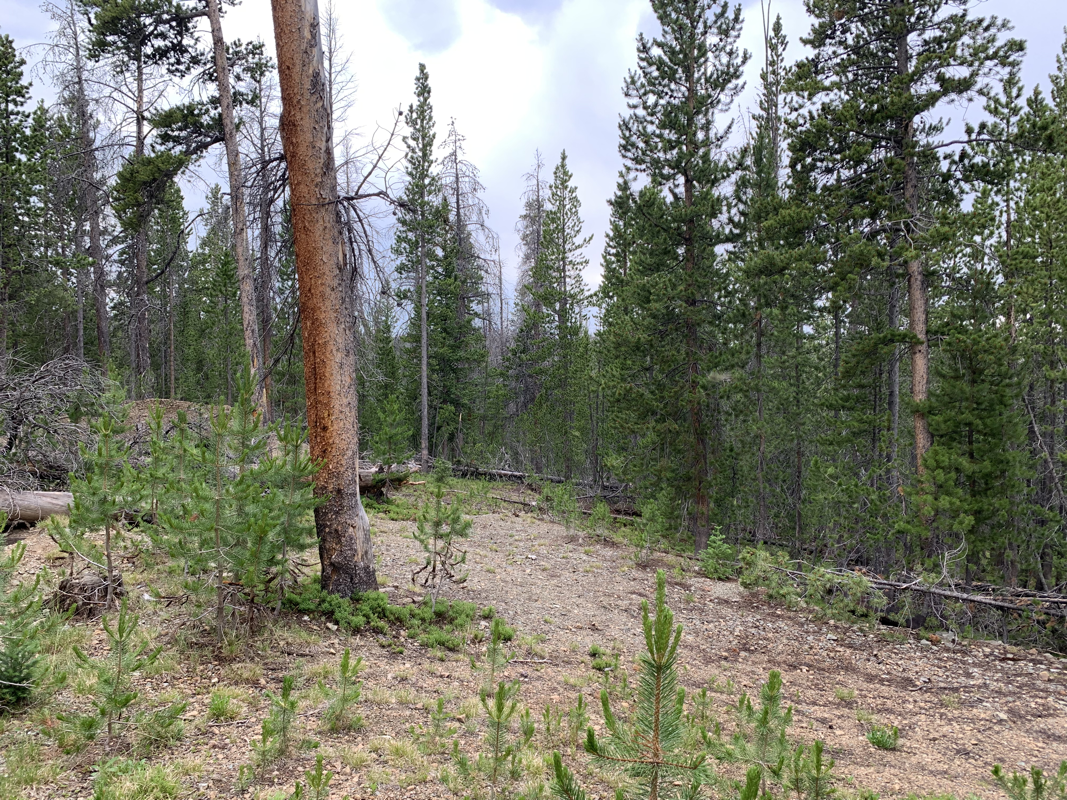
The Adit portal and shaft collar have eroded and closed over nearly two decades of neglect.
Underground workings require minor rehabilitation and removal of overburden to continue exploration and sampling.
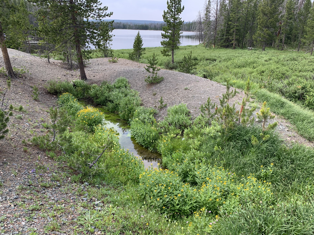
Placer Gold values can be mined from the small creek running from the northern hillside through the property to the mouth of Moors Gulch.
The small spring-fed creek features moderate water flow with a depth of 2"-to 7" and a width of 2'-to-3.5'.
Suitable for a small river sluice or high-banking operation.
Free gold values have been located in the primary mine spill during the initial survey as well.
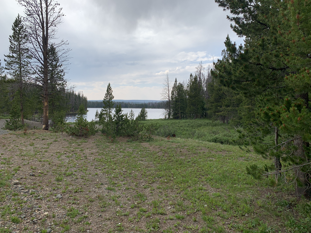
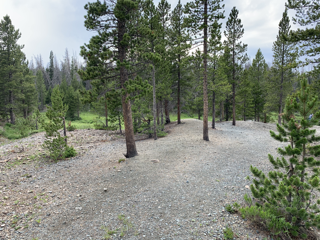
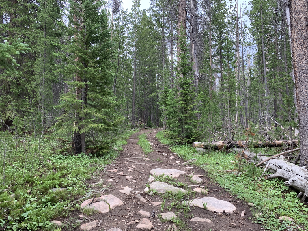
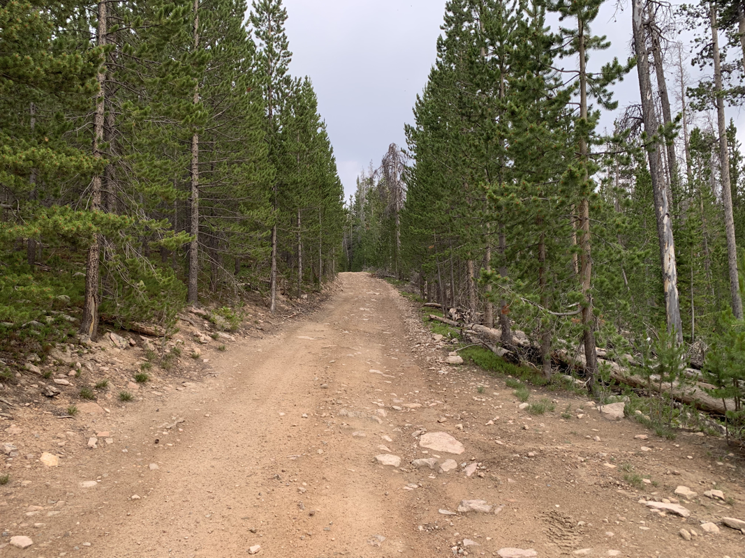
Access to the secluded area is excellent via maintained dirt roads, with easy access for any mid-clearance vehicle or camper.
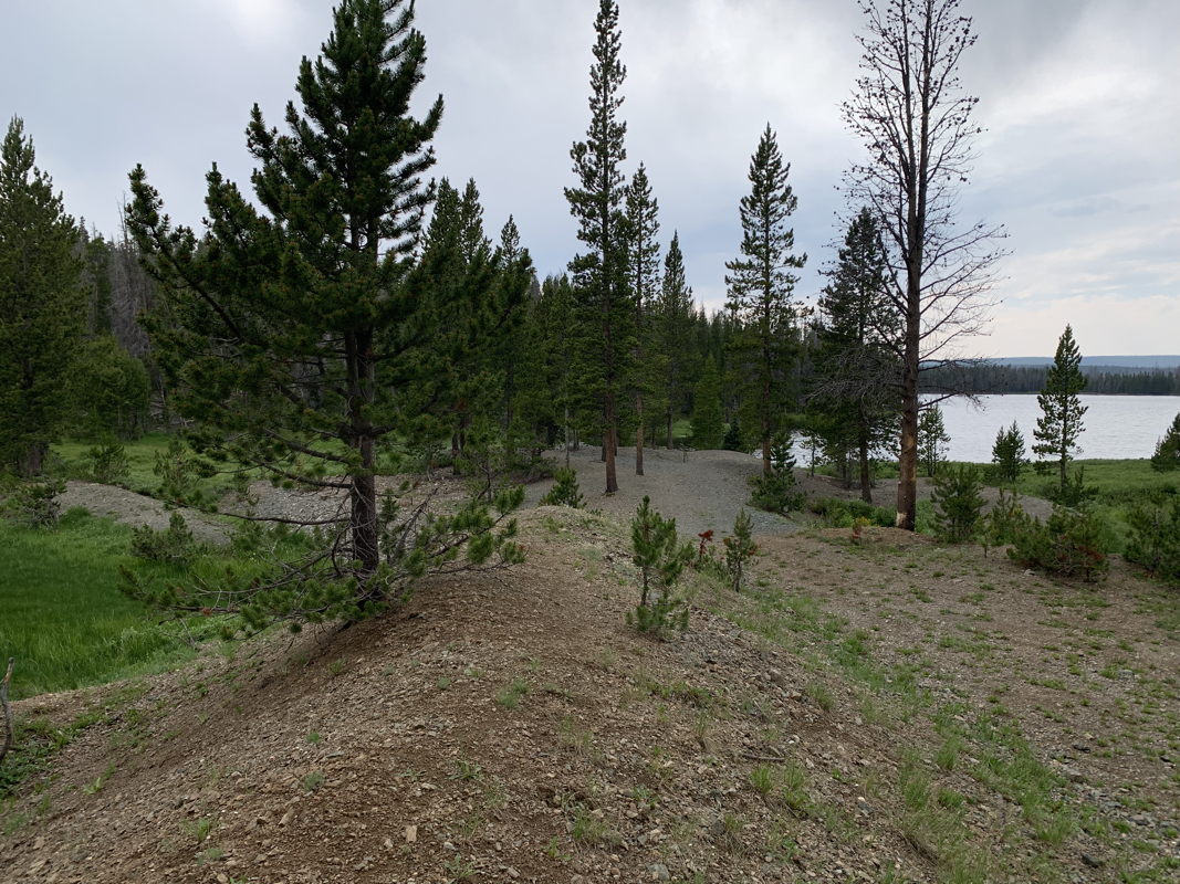
Dual parking and staging areas are available near the lakeside and the northern creek runoff.
Roads are accessible from May to November by motor vehicles and by snowmobile only during winter months.
The mineral property encompasses the beaches of Rob Roy reservoir, famous for excellent fishing and Kokanee Salmon.
This one-of-a-kind mineral property holds excellent potential for continued work on the existing and unknown mineral deposits of the property.
The district has been said to hold potential for undiscovered world-class deposits.
An excellent property for the beginning enthusiast up to an established mining company.