The Boden Placer
(Placer )
(20 acres)
Carbon County, Wyoming
$27,500
Under Contract
(Placer )
(20 acres)
Carbon County, Wyoming
$27,500
Under Contract
• Primary Commodities: Gold and Diamond
• Claim designation: un-patented Placer
• Size: 20 acres
• Location: Carbon County, Wyoming
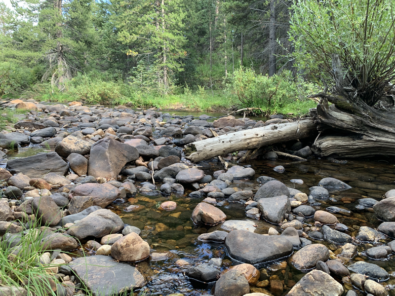
The Boden Placer is a twenty acre mineral property with documented Gold and Diamond production in the Brush Creek Mining district of Wyoming.
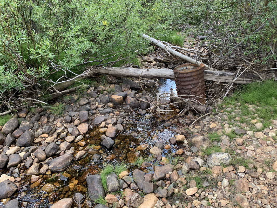
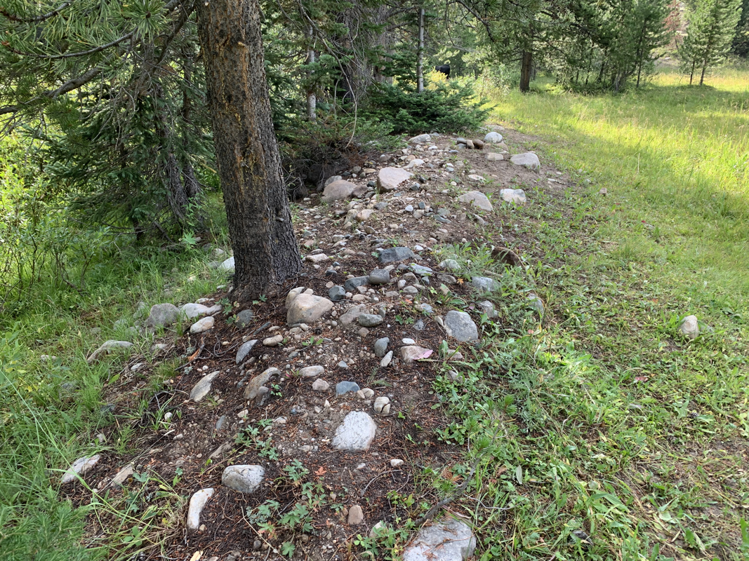
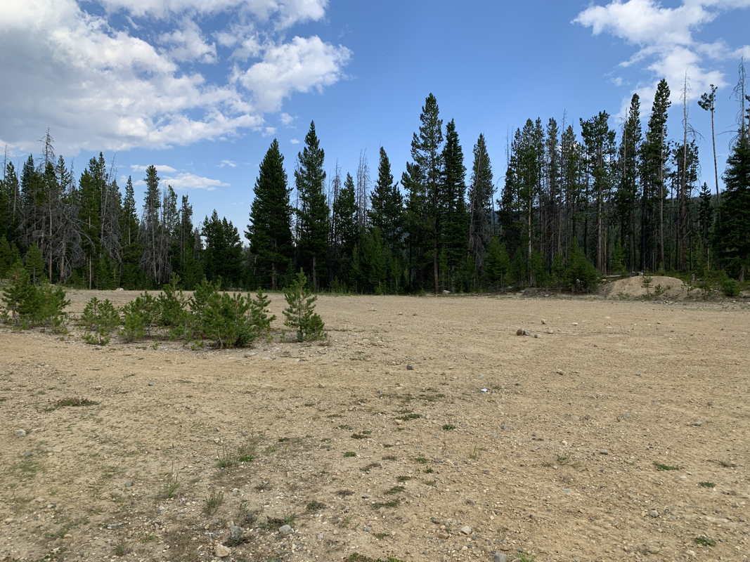
Featuring a large quarry cut into a hillside glacial drift, multiple Creekside gravel deposits and a secluded location.
In 1977 two placer diamonds were located by Paul Boden upstream from the Cortez Creek locality. While mining the gravels for Gold, Boden captured two diamonds in his sluice box. The largest of the two diamonds weighed in at 1/10th of a carat with a translucent clear octahedron form.
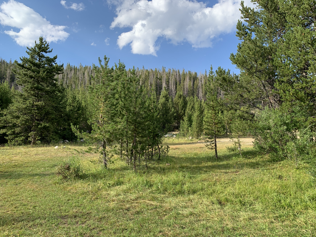
Brush Creek and the surrounding localities are located amongst heavy glacial drifts, with the potential of greater placer pockets or lode sources for the gems.
In addition to Diamonds, Gold is a more predominant mineral sought after in the district.
In 1875, Col. Stephen W. Downey of Laramie discovered gold in the Medicine Bow Mountains on Centennial Mountain.
As prospectors flocked to the area, a community was established in 1876 and named the town Centennial in honor of the 100th anniversary of the signing of the Declaration of Independence.
The Brush Creek district has a very interesting history. The area was prospected in the late 1800s following the discovery of gold flakes and some thumbnail-sized nuggets in the creeks.
According to Mullison (1909), the Ute Indians described some ancient Gold prospects. Mullison explored these prospects in 1886 and discovered several diggings on Cortez Creek, North Brush Creek, and Mullison Creek.
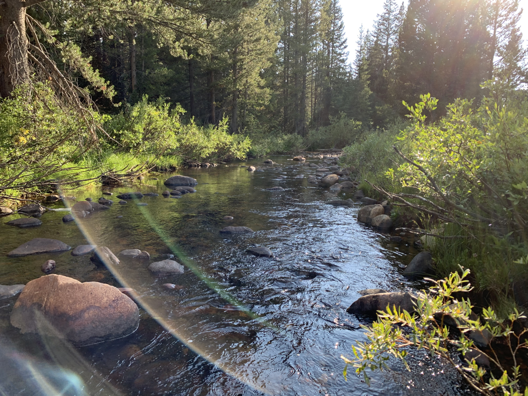
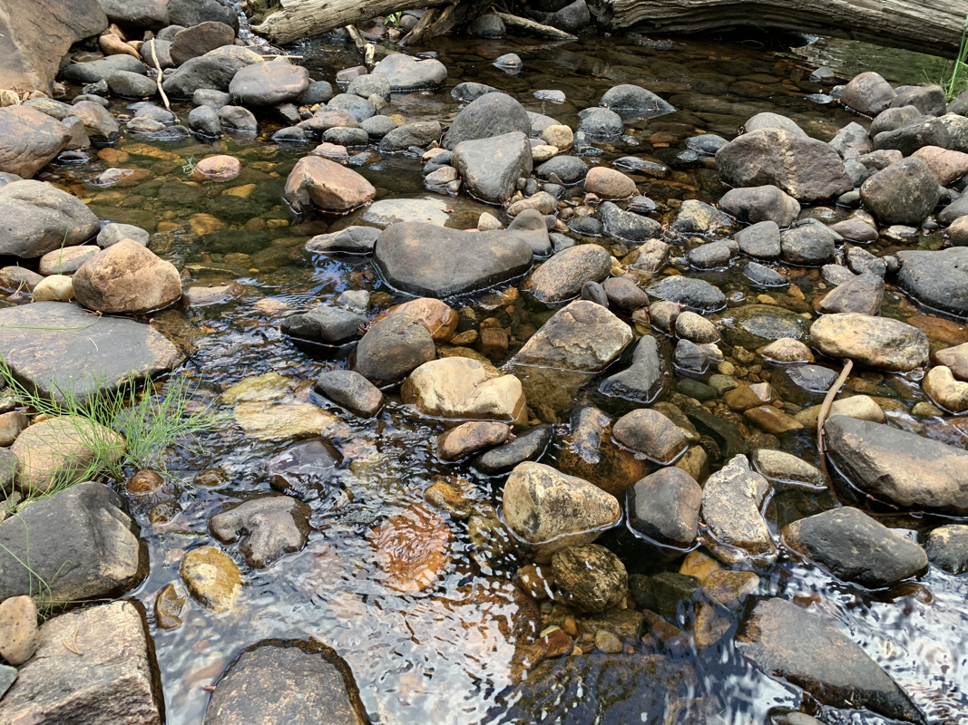
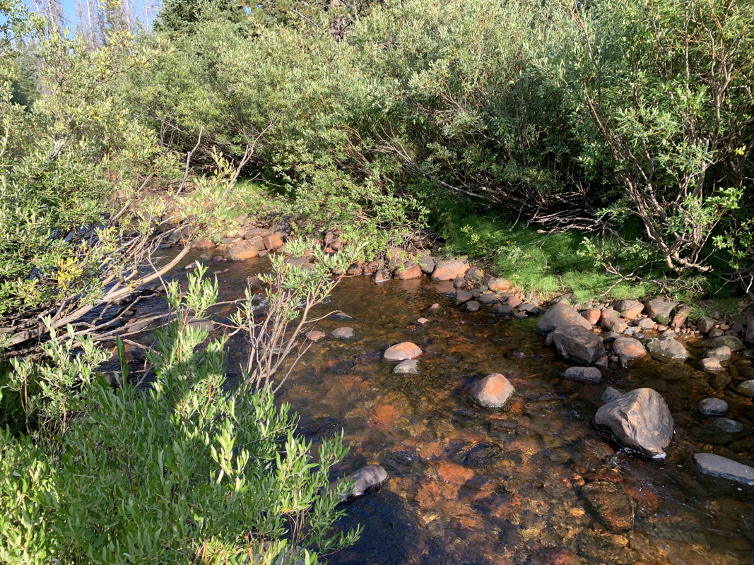
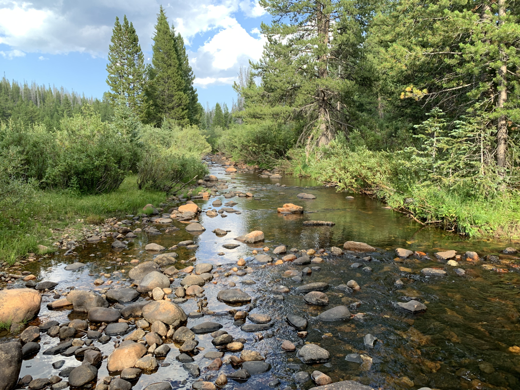
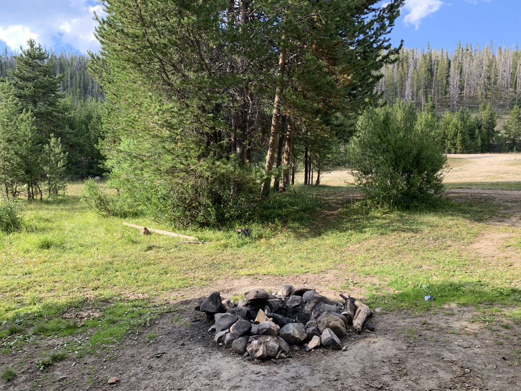
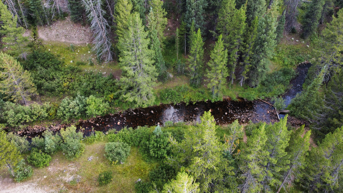
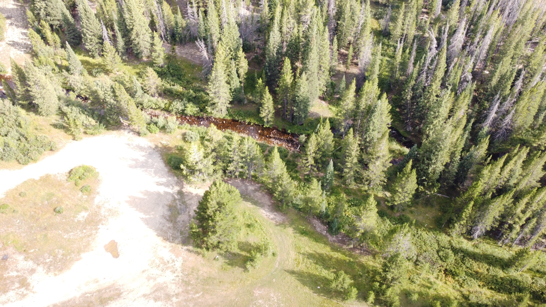
Primary workings of the Boden Placer consist of multiple gravel deposits in North Brush Creek, with secondary deposits on the upper bench deposits and the quarry.
Flake Gold and Small Nuggets have been reported in North Brush Creek, as well as the surrounding localities.
Water flow is annual with peak depth in the spring between 6"inches to 1'foot, general depth is usually between 4-7" inches annually.
An excellent location for a stream sluice, high-banking, or dredging operation.
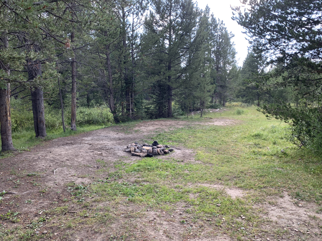
Large staging and parking areas are located near the Creekside and the upper quarry area.
Access during the warmer months between late April and October is available for any vehicle type, with snowmobile access during the winter months.
A rare mineral property available to the beginning enthusiast up to an established mining company.